Sable Falls
Burt Township, Michigan · on Sable Creek · Pictured Rocks National Lakeshore
Verified · 6 independent sources · top-verified
- WATER
- lake
- FALLS
- Waterfall on site
- ACCESS
- Designated swim area
- FEE
- $25 per private
- SEASON
- Varies by conditions
About Sable Falls
Sable Falls is a 75-foot cascading waterfall on Sable Creek within Pictured Rocks National Lakeshore, about a mile west of Grand Marais, Michigan. A stairway trail leads down 168 steps past the falls to Sable Falls Beach, a rocky, sandy Lake Superior swimming hole at the mouth of the creek that the National Park Service lists among the park's official swimming beaches.
The falls drop over Munising and Jacobsville sandstone within a forested ravine just inland from Lake Superior. The trail continues past the falls to a beach backed by the towering Grand Sable Dunes, where Sable Creek empties into the lake.
Swimming at Sable Falls
Swimming happens at Sable Falls Beach where Sable Creek meets Lake Superior, not in the falls or creek itself, which is a shallow, rocky cascade. The NPS beach water is typically cold (rarely above the low 60s°F on the open lake, occasionally reaching the upper 60s by late summer), with rocky and sandy substrate; there are no lifeguards and swimming is at one's own risk.
How to get to this swimming hole
From Grand Marais, Michigan, head about 1 mile west on Alger County Road H-58 to the signed Sable Falls parking area; GPS should be set to Munising Falls Visitor Center or 1505 Sand Point Road, Munising MI rather than 'Pictured Rocks National Lakeshore' directly.
Parking: Sable Falls has one of the larger parking lots in the park, described by NPS as suitable for RVs and large motorhomes, located at the trailhead near picnic tables and a seasonal flush restroom.
The hike in
Sable Falls Trail (stairway trail)
- To the water
- about 0.25 mi one-way from the parking lot to the beach at the mouth of Sable Creek
Difficulty: Easy in terms of distance, but involves 168 steps descending from the parking lot to the base of the falls (plus more steps/path to the beach), and the same steps back up on the return. Not handicap accessible.
Trailhead: Signed Sable Falls parking area off Alger County Road H-58, about 1 mile west of Grand Marais, Michigan.
This short trail is entirely the access route to both the falls and the beach - it doesn't continue further inland as a longer separate trail; the falls come first (168 steps down from the lot), then the path continues a bit further past the falls to the Lake Superior beach.
NPS materials describe the step count and short distance but do not publish an official time estimate; expect the stair descent/ascent to be the main time factor rather than distance.
Plan your visit
Bringing kids
OK with supervision
The beach itself is reachable via a stairway trail, but reaching it requires 168 steps down (and back up) plus additional steps to the beach, so small children or anyone with mobility limits will find it more work than a typical drive-up beach. Once there, NPS lists no lifeguards, rip-current risk, and rocky/sandy terrain (no cliffs at this specific beach), and water is often cold (rarely above the low 60s°F). Fine for kids with close supervision and current awareness, not a casual toddler wading spot.
Parking
Lot
Large paved parking lot at the trailhead, described by NPS as one of the park's larger lots and suitable for RVs/large motorhomes. No separate parking fee is listed, but the standard Pictured Rocks National Lakeshore entrance pass ($25/vehicle for 7 days, $15 walk-in/bike, $45 annual, credit/debit only) is required for park access generally.
Restrooms
Yes
Seasonal flush restroom located near the Sable Falls parking lot/picnic area, per NPS.
On the water
Restrictions: No dedicated boat launch or ramp at Sable Falls Beach itself - it's a small creek-mouth beach, not a harbor. NPS park-wide guidance says non-commercial personal watercraft don't need a permit (only commercial guides need a Commercial Use Authorization), but NPS safety messaging states 'the safest way to kayak on Lake Superior is with a guide' due to rip currents, cold water, and slow rescue response times; motorized craft aren't practical here given the lack of any ramp.
This reflects general Pictured Rocks National Lakeshore policy on Lake Superior rather than a Sable-Falls-specific boating page (a dedicated /piro/planyourvisit/boating.htm page returned a 404 this session).
Rentals nearby
Guided sea kayak tours along the Pictured Rocks cliffs (Ultimate Kayak Tour, Spray Falls Tour, Miners Castle Tour); uses an offshore support-boat launch
Prices: Miners Castle Tour ~$99 (3 hrs); Ultimate Kayak Tour ~$168 (5 hrs); Spray Falls Tour ~$199 (new for 2026)
1348 Commercial St, Munising, MI - about 40 miles / ~45 min drive from Sable Falls/Grand Marais
Guided kayak tours (Painted Cove, Best of the Rocks, Golden Hour sunset tour, Grand Island & custom 3/6-hr tours); owner-operated, max 12 guests/tour
E9825 H58 Road, Munising, MI - about 40 miles from Sable Falls/Grand Marais
Guided kayak tours (Paddle and Hike, Paddler's Choice, Taste of the Rocks, Morning Delight) plus Grand Island boat cruises and hiking shuttle service
Prices: Grand Island Boat Cruise: adults ~$74, kids ~$64
1331 W Munising Ave, Munising, MI - about 40 miles from Sable Falls/Grand Marais
Backstory
Between 2007 and 2010, the National Park Service extended the boardwalk along the falls to include a stretch of Sable Creek downstream of the main upper falls.
Sable Falls: FAQ
Does Sable Falls charge a fee?
Standard Pictured Rocks National Lakeshore entrance pass required: $25 per private vehicle (7 consecutive days), $20 motorcycle, $15 per walk-in/bicycle person; visitors 16+ need a pass; annual park pass $45; credit/debit only, no cash accepted.
Is Sable Falls kid friendly?
The beach itself is reachable via a stairway trail, but reaching it requires 168 steps down (and back up) plus additional steps to the beach, so small children or anyone with mobility limits will find it more work than a typical drive-up beach. Once there, NPS lists no lifeguards, rip-current risk, and rocky/sandy terrain (no cliffs at this specific beach), and water is often cold (rarely above the low 60s°F). Fine for kids with close supervision and current awareness, not a casual toddler wading spot.
How hard is the hike to Sable Falls?
A hike is required, about about 0.25 mi one-way from the parking lot to the beach at the mouth of Sable Creek to the water. Wear real shoes, since approaches to natural swim spots are often rocky or rooty.
Where do I park for Sable Falls?
Large paved parking lot at the trailhead, described by NPS as one of the park's larger lots and suitable for RVs/large motorhomes. No separate parking fee is listed, but the standard Pictured Rocks National Lakeshore entrance pass ($25/vehicle for 7 days, $15 walk-in/bike, $45 annual, credit/debit only) is required for park access generally.
Can I bring a kayak or paddleboard to Sable Falls?
This reflects general Pictured Rocks National Lakeshore policy on Lake Superior rather than a Sable-Falls-specific boating page (a dedicated /piro/planyourvisit/boating.htm page returned a 404 this session).
What are the rules at Sable Falls?
Leashed pets allowed on the steps, trail, and beach. Stone collection is prohibited throughout the national lakeshore. Cliff/rock jumping above 15 feet is illegal. Swim at your own risk; no lifeguards.
What water body is Sable Falls on?
Sable Falls is on Sable Creek, a natural lake verified in USGS hydrography data.
More swimming holes near Burt Township
 ★ Top verified
Hurricane River Campground
Seney, Michiganriver
⛺🛶🏄🚤
 ★ Top verified
Lake Superior Overlook
Grand Marais, Michiganlake
⛺🛶
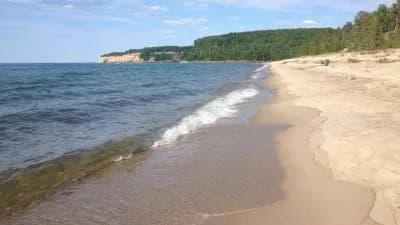 ★ Top verified
Miners Beach
Shingleton, Michiganlake
🥾 hike in⛺🛶
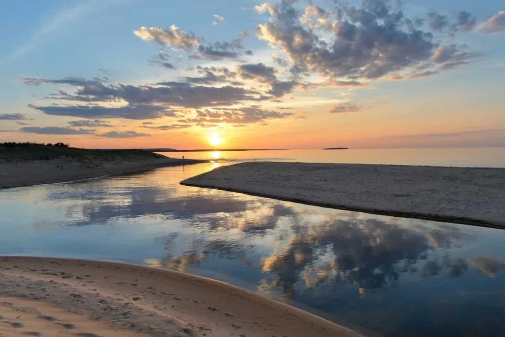
AuTrain beach
Au Train, Michiganlake
⛺🛟
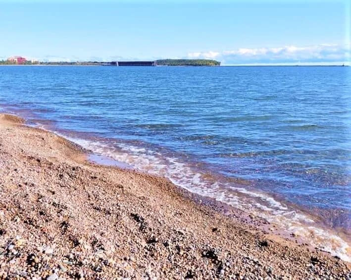
Picnic Rocks Park
Marquette, Michiganlake
Clark Lambros Beach Park
Marquette, Michiganlake
🛶