Hurricane River Campground
Seney, Michigan · on Hurricane River · Pictured Rocks National Lakeshore
Verified · 6 independent sources · top-verified
- WATER
- river
- ACCESS
- Designated swim area
- FEE
- $25 per night
- SEASON
- Best in summer
About Hurricane River Campground
Hurricane River Campground sits within Pictured Rocks National Lakeshore where the Hurricane River meets Lake Superior, about 12 miles west of Grand Marais, Michigan. The Lower Campground's day-use area gives direct access, via a short stairway, to a sand-and-rock beach at the river mouth, a natural swimming hole that the National Park Service lists among its vehicle-accessible places to swim on Lake Superior.
The campground is split into an Upper loop set back in deciduous forest and a Lower loop closer to the river and Lake Superior shoreline. The beach itself is a mix of sand and rock at the river's mouth, with its exact shape and composition shifting from year to year; shipwreck remnants are visible along the shore during low water as part of the historically hazardous 'Graveyard Coast.'
Swimming at Hurricane River Campground
Swimming here is open Lake Superior beach swimming at the point where the Hurricane River empties into the lake, not a warm inland hole: NPS notes shoreline water temperatures in summer typically run from the upper 50s to upper 60s Fahrenheit, and this specific beach 'rarely gets above the low 60s.' There are no lifeguards, and the park explicitly recommends walking in from the beach rather than jumping from any rocks or cliffs (illegal above 15 feet). It suits cold-water-tolerant swimmers and waders more than families seeking a warm swim.
How to get to this swimming hole
From Grand Marais, drive about 12 miles west on County Road H-58 to Hurricane River Campground; park at the Lower Hurricane River Campground day-use area and descend a short flight of stairs to the beach at the river mouth.
Parking: Day-use parking at the Lower Hurricane River Campground, per NPS.
The hike in
No hike is needed to reach the swim beach itself: it's a short flight of stairs down from the Lower Hurricane River Campground day-use area. Separately, an optional out-and-back walk on the North Country Trail heads east from the campground to the Au Sable Light Station, about 1.5 miles one-way (3 miles round trip) on mostly level, easy terrain along the Lake Superior shoreline -- not required for swimming, just a nearby add-on.
Trailhead for the optional lighthouse walk is at the campground itself, per NPS and one first-hand visitor account.
Plan your visit
Bringing kids
OK with supervision
Shallow, walk-in sand-and-rock beach entry (NPS explicitly recommends walking in rather than jumping from rocks/cliffs, which is illegal above 15 ft), but there are no lifeguards anywhere at Pictured Rocks, water is cold (upper 50s-60s F even in summer), and rip currents plus submerged logs/boulders are possible per NPS. Best suited to families who supervise closely and stick to wading rather than deep swimming.
Parking
Lot
Day-use parking at the Lower Hurricane River Campground; beach is reached from there via a short flight of stairs. No separate day-use fee is published (only the $25/night camping fee is documented), so whether day-use parking itself is free could not be confirmed from official sources.
Restrooms
Yes
Vault toilets at Hurricane River Campground (both Upper and Lower loops), a short walk/drive from the day-use beach area; no flush toilets on site (per Recreation.gov and flashpackingamerica first-hand account).
Hours
No posted hourly gate schedule found; the campground (and by extension the day-use beach area) operates seasonally May 15 through Oct 15 per NPS, with campground check-out at 11 a.m. and quiet hours 10 p.m.-6 a.m. per Recreation.gov. Beach access outside the camping season is possible but County Road H-58 may be harder to travel in winter/shoulder season.
On the water
This is open Lake Superior shoreline with no marina or designated launch noted at Hurricane River itself. NPS's beach guidance says boaters approaching the beach must watch for swimmers and swimmers should watch for incoming boats, implying small craft and motorboats do use this shoreline informally. Recreation.gov's campground listing notes that 'pontoon boat and other rentals are available in nearby communities' without naming a specific business or exact location.
Backstory
The area is part of the historically shipwreck-prone 'Graveyard Coast,' with shipwreck remnants visible along the beach at low water; the nearby Au Sable Light Station (1.5 miles / 3-mile round trip via the North Country Trail) marks this stretch of Lake Superior shoreline.
Hurricane River Campground: FAQ
Does Hurricane River Campground charge a fee?
Drive-in camping is $25 per night with required Recreation.gov reservations; no separate fee is mentioned for day-use beach access.
Is Hurricane River Campground kid friendly?
Shallow, walk-in sand-and-rock beach entry (NPS explicitly recommends walking in rather than jumping from rocks/cliffs, which is illegal above 15 ft), but there are no lifeguards anywhere at Pictured Rocks, water is cold (upper 50s-60s F even in summer), and rip currents plus submerged logs/boulders are possible per NPS. Best suited to families who supervise closely and stick to wading rather than deep swimming.
Do I need to hike to reach Hurricane River Campground?
No significant hike is required. The swimming area is close to parking and access.
Where do I park for Hurricane River Campground?
Day-use parking at the Lower Hurricane River Campground; beach is reached from there via a short flight of stairs. No separate day-use fee is published (only the $25/night camping fee is documented), so whether day-use parking itself is free could not be confirmed from official sources.
Can I bring a kayak or paddleboard to Hurricane River Campground?
This is open Lake Superior shoreline with no marina or designated launch noted at Hurricane River itself. NPS's beach guidance says boaters approaching the beach must watch for swimmers and swimmers should watch for incoming boats, implying small craft and motorboats do use this shoreline informally. Recreation.gov's campground listing notes that 'pontoon boat and other rentals are available in nearby communities' without naming a specific business or exact location.
When is the best time to visit Hurricane River Campground?
Campground and likely beach access run May 15 through October 15 per NPS; water stays cold (upper 50s-60s F) even in summer.
What are the rules at Hurricane River Campground?
No lifeguards at this or any Pictured Rocks beach; illegal to jump from cliffs or rocks higher than 15 feet above lake level; leashed pets (6-foot leash) allowed.
What water body is Hurricane River Campground on?
Hurricane River Campground is on Hurricane River, a natural river verified in USGS hydrography data.
More swimming holes near Seney
 ★ Top verified
Lake Superior Overlook
Grand Marais, Michiganlake
⛺🛶
 ★ Top verified
Sable Falls
Burt Township, Michiganlake
🥾 0.25 mi hike⛺🛶🏄
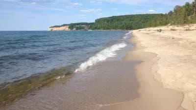 ★ Top verified
Miners Beach
Shingleton, Michiganlake
🥾 hike in⛺🛶
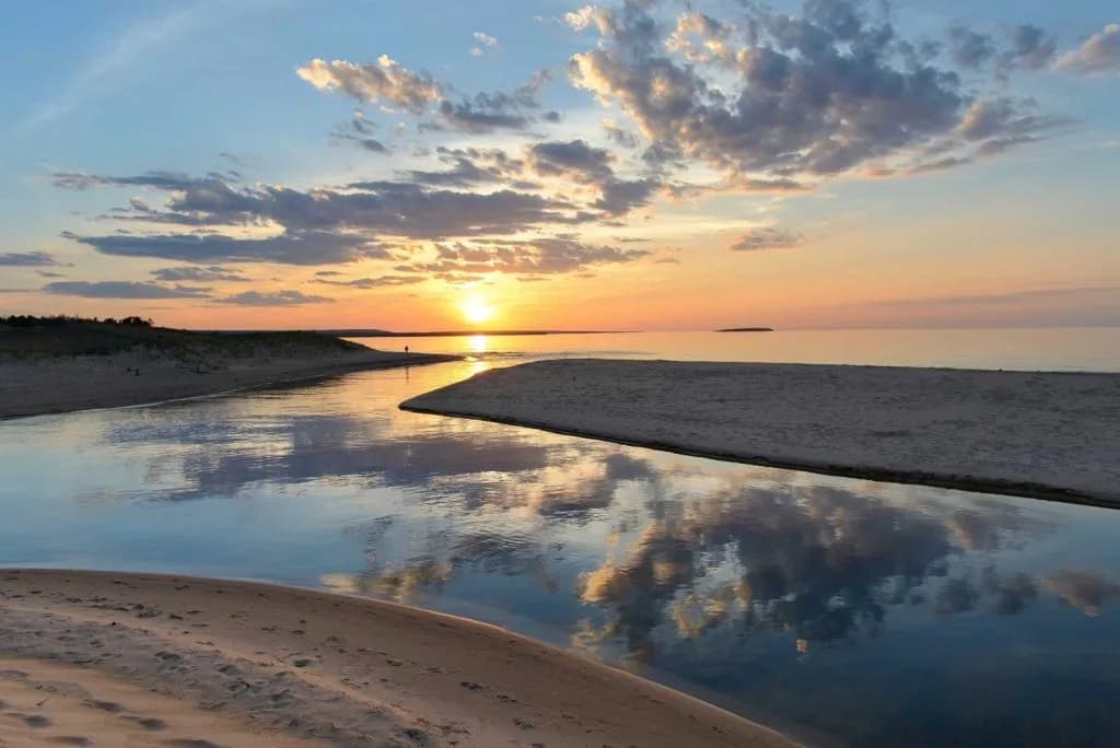
AuTrain beach
Au Train, Michiganlake
⛺🛟
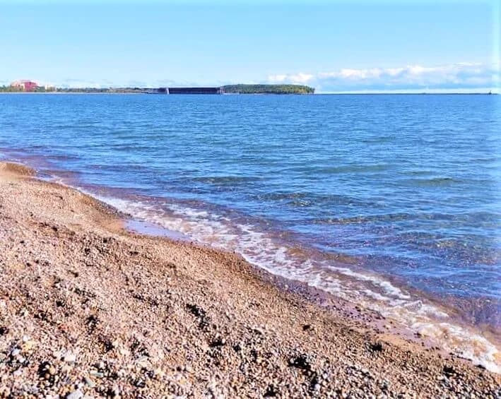
Picnic Rocks Park
Marquette, Michiganlake
Clark Lambros Beach Park
Marquette, Michiganlake
🛶