Laurel Ridge Beach
Hawley, Pennsylvania · on McConnell Pond
Verified · 3 independent sources
- WATER
- lake
- ACCESS
- Designated swim area
- FEE
- No fee found
- SEASON
- June
About Laurel Ridge Beach
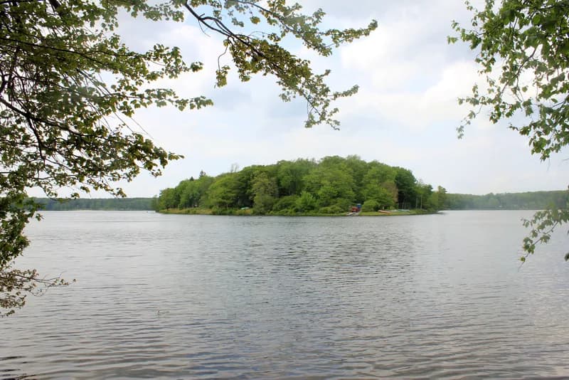
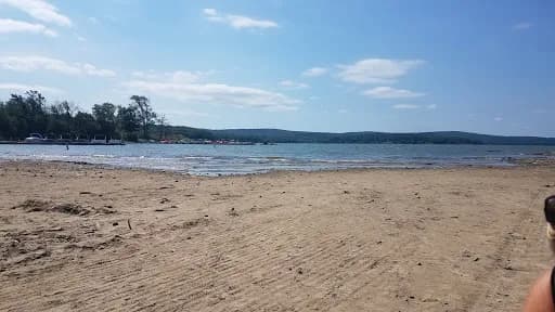
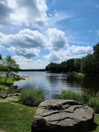
Laurel Ridge Beach is a private, members-only lake beach on the north end of McConnell Lake (also mapped as McConnell Pond) at 743 PA-739 (Route 739), inside Hemlock Farms, a large gated residential community near Lords Valley and Hawley in Pike County, Pennsylvania. This is a members' swimming hole, not a public one: the Hemlock Farms Community Association (HFCA) operates it as one of several designated swimming and boating beaches in the community, giving residents a private lake to swim in, and it appears to have its own affiliated nonprofit corporate entity ('Laurel Ridge Beach Club').
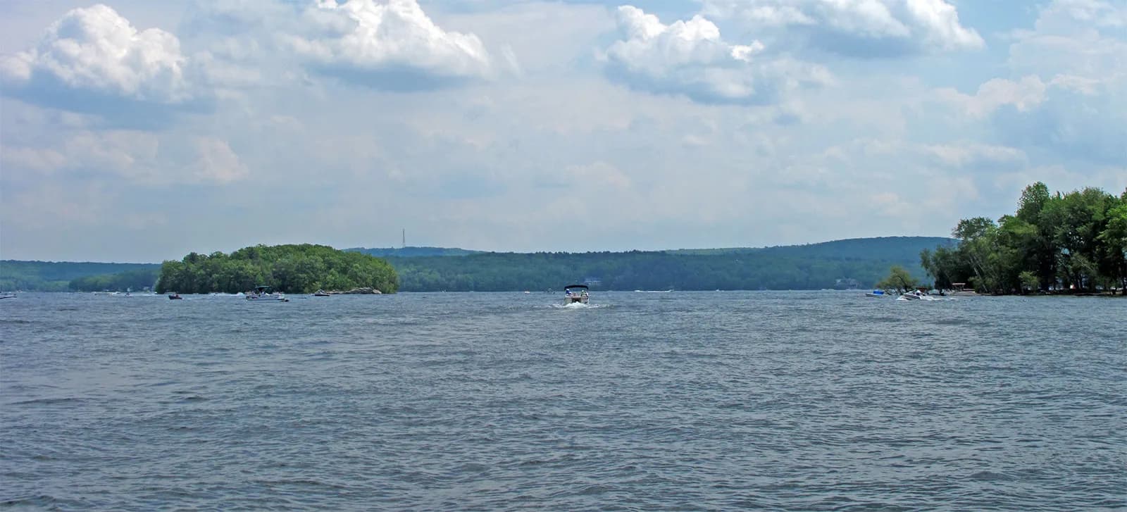
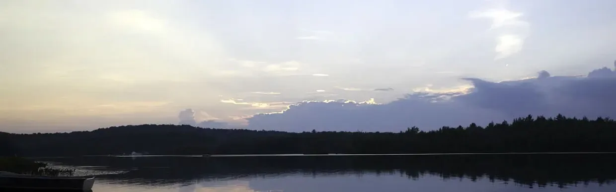
McConnell Lake sits within the wooded, hilly Hemlock Farms development in Pike County, one of roughly a dozen small lakes and ponds the HFCA manages across the community for recreation, fishing, and conservation. Laurel Ridge Beach occupies the north end of the lake along Route 739, described by community sources as offering 'beautiful views' across the water, in contrast to the boating-only coves (e.g., Basswood Cove) at the lake's south end.
Swimming at Laurel Ridge Beach
Swimming and boating are both permitted at Laurel Ridge Beach. The HFCA states its designated swimming areas at each community beach are tested weekly for safety during swimming season, and secondary (real-estate marketing) sources report lifeguards on duty from the end of June through Labor Day weekend. The HFCA also actively monitors water quality for algal blooms and advises residents to avoid swimming when blue-green algae mats or scum are present. No first-hand descriptions of water depth, bottom type, or clarity were found.
How to get to this swimming hole
Located at 743 PA-739 (Route 739), Hawley, PA 18428, on the north end of McConnell Lake within the gated Hemlock Farms community off US-6 near Lords Valley, PA.
The walk in
No real hike here. The water is a short walk from where you park. Laurel Ridge Beach is a drive-up/walk-up community lake beach on Route 739 within Hemlock Farms; no trail or hike is involved in reaching the water.
Plan your visit
Bringing kids
OK with supervision
HFCA states designated swimming areas at each beach (including Laurel Ridge) are tested weekly for water-quality safety during swimming season, and a real-estate secondary source reports lifeguards on duty from late June through Labor Day weekend. No first-hand description of entry slope, bottom type, or roped-off shallow area was found, and periodic harmful-algal-bloom advisories mean conditions can be temporarily unsafe. Access itself is restricted to Hemlock Farms residents/registered guests, not the general public.
Hours
No published daily gate/beach hours found. Secondary (real-estate marketing) source states lifeguards are on duty roughly late June through Labor Day weekend; HFCA describes a broader 'swimming season' (implied Memorial Day-Labor Day) during which designated swim areas are tested weekly for safety. HFCA administrative office hours (not beach hours) are Mon/Wed/Fri/Sat 9am-4pm, closed Tue/Thu/Sun.
On the water
Restrictions: Only HFCA-registered watercraft displaying current HFCA stickers may use the lake; gasoline/internal-combustion engines are prohibited unless fully covered with an approved engine cover or specifically authorized; max boat beam 60 inches; sailboats/sailboards limited to 90 sq ft sail area; Coast Guard-approved inflatables permitted; generators not allowed on docks. Dock/rack/rental space is assigned annually, first-come-first-served, and reverts to HFCA when relinquished; unauthorized boats face a $100 removal fee plus $50/month storage.
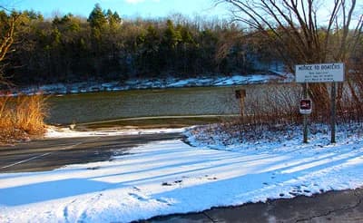
This is a private, members-only lake -- watercraft use is limited to Hemlock Farms property owners and their registered guests; there is no public boat launch or public rental dock at Laurel Ridge Beach.
Backstory
Laurel Ridge Beach appears to be tied to its own Pennsylvania-registered nonprofit (non-stock) corporation, 'Laurel Ridge Beach Club,' distinct from (or affiliated alongside) the broader Hemlock Farms Community Association that manages the lake system overall.
Laurel Ridge Beach: FAQ
Is Laurel Ridge Beach kid friendly?
HFCA states designated swimming areas at each beach (including Laurel Ridge) are tested weekly for water-quality safety during swimming season, and a real-estate secondary source reports lifeguards on duty from late June through Labor Day weekend. No first-hand description of entry slope, bottom type, or roped-off shallow area was found, and periodic harmful-algal-bloom advisories mean conditions can be temporarily unsafe. Access itself is restricted to Hemlock Farms residents/registered guests, not the general public.
Do I need to hike to reach Laurel Ridge Beach?
No significant hike is required. The swimming area is close to parking and access.
Can I bring a kayak or paddleboard to Laurel Ridge Beach?
This is a private, members-only lake -- watercraft use is limited to Hemlock Farms property owners and their registered guests; there is no public boat launch or public rental dock at Laurel Ridge Beach.
When is the best time to visit Laurel Ridge Beach?
Swimming season runs roughly Memorial Day through Labor Day, with lifeguards reported on duty from late June through Labor Day weekend; designated swimming areas are tested weekly for water-quality safety during this period.
What are the rules at Laurel Ridge Beach?
Access is restricted to Hemlock Farms property owners/residents and their registered guests; it is a private community amenity, not open to the general public. Only HFCA-registered watercraft are allowed on the lake (oar or electric-motor boats, canoes, kayaks, paddle boats, small sailboats/sailboards ≤90 sq ft, Coast Guard-approved inflatables, max 60-inch beam); gasoline motors and generators are prohibited on the docks. During algal blooms, the HFCA advises against swimming.
What water body is Laurel Ridge Beach on?
Laurel Ridge Beach is on McConnell Pond, a natural lake verified in USGS hydrography data.