Myrtle Beach
Crescent City, California · on Smith River · Six Rivers National Forest
Verified · 3 independent sources
- WATER
- river
- ACCESS
- Designated swim area
- FEE
- No fee found
- SEASON
- Best in summer
About Myrtle Beach
Myrtle Beach is one of the best-known places to swim on the Smith River (Middle Fork/South Fork confluence area) just off Highway 199 near Hiouchi and Gasquet, within the Smith River National Recreation Area portion of Six Rivers National Forest. A short, steep trail from a roadside parking area leads down to a broad, emerald-green swimming hole with a sandy beach and a popular cliff-jumping rock.
The site sits along the Smith River just below the Nels Christensen Memorial Bridge where Highway 199 crosses near South Fork Road, within the Myrtle Creek Botanical Area of the Smith River National Recreation Area (Six Rivers National Forest). The surrounding forest transitions between coastal redwood and mixed evergreen habitat, and the nearby Myrtle Creek Trail follows a historic gold-mining ditch through the area.
Swimming at Myrtle Beach
The river forms a broad, calm pool here with notably cold, clear, emerald/jade-green water. A shallow sandy beach area is suitable for children and casual wading, while the riverbed drops off steeply farther out into deep water. A large boulder on the far side is a popular 15-20 foot cliff-jumping spot for experienced swimmers, and the pool is also used for floating and light kayaking.
How to get to this swimming hole
From the Highway 101/199 junction north of Crescent City, drive Highway 199 east about 7 miles to the South Fork Road junction (near the Nels Christensen Memorial Bridge); parking is in a gravel/paved pullout on the west side of the junction, with a short steep trail down to the river.
Parking: Free gravel/paved parking lot/pullout at the Highway 199 and South Fork Road junction, described in sources as the main Myrtle Beach river access parking.
The hike in
Unofficial Myrtle Beach river-access spur (adjacent to, but distinct from, the official Myrtle Creek Trail #1E01)
- To the water
- approx. 0.25 mi one-way (about 0.5 mi round trip)
- Time on foot
- Roughly 10-15 minutes each way at a careful pace given the steep/rocky footing
Difficulty: Short but steep, rocky, and slippery in places; described as easy overall by one source and moderate by another - sturdy, grippy shoes recommended. Roughly 100 ft of elevation loss from parking to the river.
Trailhead: Roadside parking area on the west side of the Highway 199 / South Fork Road junction, about 7 miles east of the US-101/199 split north of Crescent City, near the Nels Christensen Memorial Bridge.
This is a short, direct spur straight down the riverbank to the swimming beach - not the same path as the adjacent official Myrtle Creek Trail (Six Rivers NF trail #1E01), which is a separate ~1-mile one-way (2-mile round trip) easy interpretive trail following a historic hydraulic-mining ditch and does not itself lead to the swimming hole.
A vault/pit toilet sits partway down the trail. Dogs are reportedly permitted on the trail.
Plan your visit
Bringing kids
OK with supervision
A shallow sandy beach near the entry point is good for wading and young kids, but multiple first-hand accounts note the riverbed drops off steeply not far from shore, and the far-bank boulder is used for 15-20 ft cliff jumping by experienced swimmers, so supervision and staying in the shallow zone matters for children.
Parking
Free
Free gravel/paved parking lot or pullout at the Highway 199 and South Fork Road junction (west side, near the Nels Christensen Memorial Bridge). Described by one visitor as small-capacity, so it can fill on busy summer days.
Restrooms
Yes
A single vault/pit toilet is located partway down the access trail (on the left side, per one first-hand account), roughly midway between the parking area and the river.
Water clarity
Clear
Consistently described across three independent first-hand accounts as cold and clear with an emerald/jade-green to 'iridescent' tint, and 'free of weeds and slippery rocks'; one visitor called it 'pristine.'
On the water
First-hand trip reports describe the pool at Myrtle Beach as broad and calm, explicitly suited to floating, inflatables/tubes, kayaks, and stand-up paddleboards (one account includes a photo of SUP paddlers on this stretch of the Middle Fork Smith River). No mention of motorboat use or no-wake/electric-only signage at this specific spot; upstream/downstream stretches of the Smith River system do have whitewater rafting sections, but those are separate from this calm swimming pool.
Rentals nearby
Kayak rentals, paddleboard rentals, and bike rentals, plus guided kayak/rafting tours on the Smith River (Middle Fork, South Fork, and North Fork) and combined river/redwoods trips
Prices: Guided trips from $89 ('Redwoods by River'); Middle Fork Smith half-day from $113.40; Middle Fork Smith full day $160.92; South Fork Smith trip from $171.72; North Fork Smith Class IV from $243. Stand-alone rental-only pricing is not published on the site.
Based at Hiouchi Hamlet Market and Chevron, 2100 US Highway 199, Hiouchi, CA 95531 - about 2 miles from Myrtle Beach
Kayak and canoe rentals and tours on the Smith River
Listed address: 12580 US-101, Smith River, CA (near the river's mouth, roughly 20+ miles from Myrtle Beach)
What regulars say
Visitors consistently flag the trail as short but slick when wet, recommend arriving on weekday mornings to beat afternoon and weekend crowds, warn that jumping from the highway bridge itself (as opposed to the riverside boulder) is dangerous and illegal, and advise checking water depth visually before any cliff jump since depth is not marked or guaranteed.
Backstory
The adjacent Myrtle Creek Trail follows a ditch built for a turn-of-the-20th-century hydraulic gold mining operation (Myrtle Creek Mining Company, founded 1894 by Crescent City investors, operating until the early 1920s); the largest nugget recovered reportedly weighed 47 ounces.
Myrtle Beach: FAQ
Is Myrtle Beach kid friendly?
A shallow sandy beach near the entry point is good for wading and young kids, but multiple first-hand accounts note the riverbed drops off steeply not far from shore, and the far-bank boulder is used for 15-20 ft cliff jumping by experienced swimmers, so supervision and staying in the shallow zone matters for children.
How hard is the hike to Myrtle Beach?
A hike is required, about approx. 0.25 mi one-way (about 0.5 mi round trip) to the water (roughly 10-15 minutes each way at a careful pace given the steep/rocky footing). Wear real shoes, since approaches to natural swim spots are often rocky or rooty.
Where do I park for Myrtle Beach?
Free gravel/paved parking lot or pullout at the Highway 199 and South Fork Road junction (west side, near the Nels Christensen Memorial Bridge). Described by one visitor as small-capacity, so it can fill on busy summer days.
Can I bring a kayak or paddleboard to Myrtle Beach?
First-hand trip reports describe the pool at Myrtle Beach as broad and calm, explicitly suited to floating, inflatables/tubes, kayaks, and stand-up paddleboards (one account includes a photo of SUP paddlers on this stretch of the Middle Fork Smith River). No mention of motorboat use or no-wake/electric-only signage at this specific spot; upstream/downstream stretches of the Smith River system do have whitewater rafting sections, but those are separate from this calm swimming pool.
When is the best time to visit Myrtle Beach?
Summer for swimming (warmest water, though can be crowded on weekends/afternoons); the river and trail are described as scenic year-round.
What are the rules at Myrtle Beach?
Jumping from the South Fork Road bridge is explicitly called out as dangerous and illegal; dogs are reportedly allowed on the trail.
What water body is Myrtle Beach on?
Myrtle Beach is on Smith River, a natural river verified in USGS hydrography data.
More swimming holes near Crescent City
 ★ Top verified
Smith River National Recreation Area
Crescent City, Californiariver
⛺🛶🏄
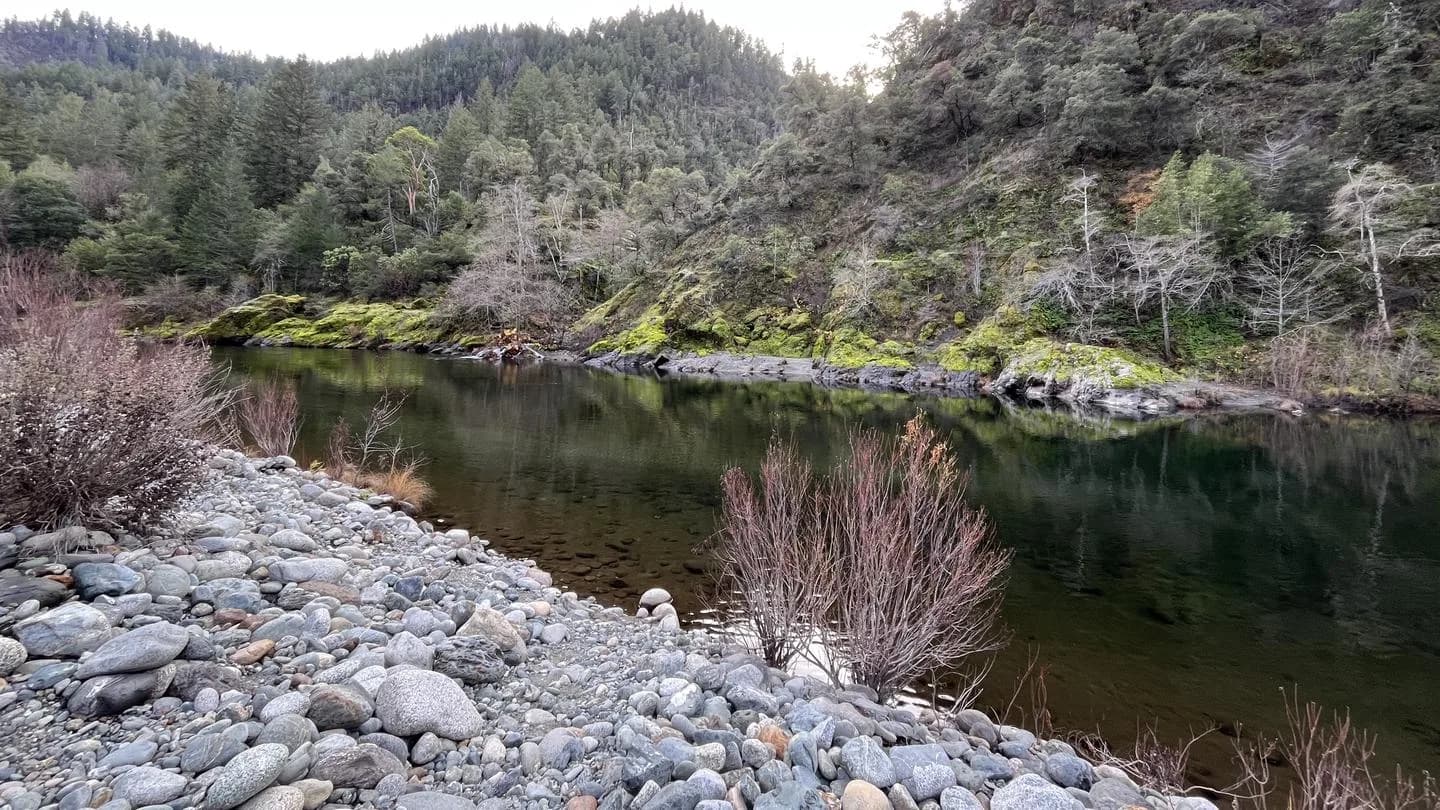
Oak Bottom Campground
Somes Bar, Californiariver
⛺🛶
 ★ Top verified
Applegate Lake
Jacksonville, Oregonreservoir
⛺🛶🏄🚤
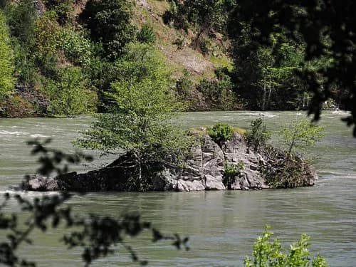
Big Rock Day Use Area & River Access
Willow Creek, Californiariver
⛺🛶🏄🛟
 ★ Top verified
Stoney Creek Swim Area
Trinity Center, Californiareservoir
⛺🛶🏄🚤
 ★ Top verified
Aspen Point Campground - Lake of the Woods
Klamath Falls, Oregonlake
⛺🛶🚤