Cable Rock Day Use Site
Midpines, California · on Merced River · Mother Lode Field Office
Verified · 4 independent sources · top-verified
- WATER
- river
- ACCESS
- Designated swim area
- FEE
- No fee found
- SEASON
- Varies by conditions
About Cable Rock Day Use Site
Cable Rock Day Use Site is a BLM-managed river access point on the Merced River in the Merced River Recreation Management Area, about 1.4 to 1.5 miles downstream of the Briceburg Visitor Center near Midpines, California. It centers on a small rock beach known locally as 'Cable Beach,' a swimming hole and picnic spot that gives swimmers a stretch of the Merced, a river to swim in amid the canyon's popular whitewater rafting run.
The site sits in the steep, rocky Merced River Canyon along the BLM-managed stretch of river between Briceburg and El Portal, reached by an unpaved road that crosses a suspension bridge past the Briceburg Visitor Center. The canyon is used heavily for commercial and private whitewater rafting, and the day-use beach sits directly upstream of a stretch of rapids.
Swimming at Cable Rock Day Use Site
Swimming is at a small rock beach on the Merced River, described in official BLM materials as a listed activity for the site. News coverage characterizes the water as swift, cold (low 50s°F recorded in one incident), and increasingly dangerous during high spring snowmelt flows, when currents can sweep swimmers off their feet; the beach itself sits just above rapids downstream.
How to get to this swimming hole
From the Briceburg Visitor Center on the Merced River (reached via El Portal Road from Highway 140 near Midpines/Briceburg), continue about 1.4-1.5 miles downstream on an unpaved road that crosses a suspension bridge to reach Cable Rock Day Use Site; the BLM notes trailers over 18 feet and large RVs are not recommended on this route.
The walk in
No real hike here. The water is a short walk from where you park. This is a drive-up BLM day-use site, not a hike-to swimming hole; visitors reach the rock beach via the unpaved access road and a short walk from the parking area (exact walk distance not confirmed in sources found).
Plan your visit
Bringing kids
Not ideal for young kids
BLM safety alerts and a 2017 news report of a fatal/near-fatal swimmer search describe swift, powerful currents (~7,750 cfs at time of incident), cold water (low 50s°F), a small rock beach sitting directly above whitewater rapids, and rattlesnakes in the river corridor. BLM has temporarily closed the site during high-runoff periods and recommends life jackets. Not a calm, shallow-entry spot suited to young kids without close supervision.
Parking
Available
Reached by driving an unpaved BLM access road (River Road) past the Briceburg Visitor Center, crossing a suspension bridge, about 1.4-1.5 miles to the day-use site; BLM notes trailers over 18 feet and large RVs are not recommended on this road. Exact parking lot size/type and any fee were not confirmed in sources found.
On the water
Restrictions: This stretch of the Merced sits within an active Class III-IV commercial whitewater run between Briceburg and El Portal/Yosemite Valley; official BLM materials list 'whitewater boating' as a site activity, and a 2017 incident report notes roughly 20 commercial rafts floating this section on a typical day and kayaks used in a river search. Not a calm flatwater spot suited to casual canoeing, paddleboarding, or tubing given the swift current and rapids immediately downstream of the beach.
Rentals nearby
Guided half-day and full-day whitewater rafting trips on the Merced River (Class III-IV), running through the Briceburg/Cable Rock stretch of the gorge; not a self-serve rental outfit
Meets at 6940 State Highway 140, Midpines, CA (about 8 miles from Mariposa); half-day trips later in the season move down into the Merced River Gorge near Briceburg · Half-day trips run roughly 8:00am-12:30pm or 1:30-6:00pm; full-day trips meet about 9:30am, return by 5:00pm
Guided one-day whitewater rafting trip on the Merced (Class III & IV), described as ending 'a few miles downstream of Briceburg'; not a self-serve rental outfit
Prices: Starting at $190 per person
Meets at Midpines Park and Ride, 6364 CA-140, Midpines, CA, about 5.1 miles east of the Hwy 140/Hwy 49 junction · Operates April through early June; morning meeting around 9:00am, typical return around 5:00pm
Guided half-day and one-day whitewater rafting trips on the Merced (Class III-IV); not a self-serve rental outfit
Company office at 27890 CA-120, Colfax Spring, CA, about 13.5 miles east of Groveland and 15 miles from Yosemite's northwest entrance
Cable Rock Day Use Site: FAQ
Is Cable Rock Day Use Site kid friendly?
BLM safety alerts and a 2017 news report of a fatal/near-fatal swimmer search describe swift, powerful currents (~7,750 cfs at time of incident), cold water (low 50s°F), a small rock beach sitting directly above whitewater rapids, and rattlesnakes in the river corridor. BLM has temporarily closed the site during high-runoff periods and recommends life jackets. Not a calm, shallow-entry spot suited to young kids without close supervision.
Do I need to hike to reach Cable Rock Day Use Site?
No significant hike is required. The swimming area is close to parking and access.
Where do I park for Cable Rock Day Use Site?
Reached by driving an unpaved BLM access road (River Road) past the Briceburg Visitor Center, crossing a suspension bridge, about 1.4-1.5 miles to the day-use site; BLM notes trailers over 18 feet and large RVs are not recommended on this road. Exact parking lot size/type and any fee were not confirmed in sources found.
What are the rules at Cable Rock Day Use Site?
BLM fire restrictions were in effect as of the site's most recent alert (dated May 2026, no end date given). In June 2017, BLM temporarily closed the Cable Rock day-use area during a period of extreme high water and warned that swimming/water entry was at visitors' own risk, recommending life jackets.
What water body is Cable Rock Day Use Site on?
Cable Rock Day Use Site is on Merced River, a natural river verified in USGS hydrography data.
More swimming holes near Midpines
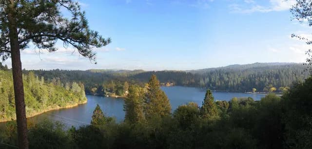
Dunn Court Beach
Groveland, Californialake
⛺🛶🏄🚤
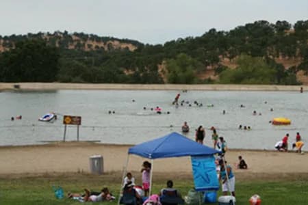
Don Pedro Lake swimming pond
La Grange, Californiareservoir
⛺🛶🏄🚤
 ★ Top verified
Bass Lake Recreation Area
Oakhurst, Californiareservoir
⛺🛶🏄🚤
 ★ Top verified
Spring Cove Campground
Oakhurst, Californialake
⛺🛶🏄🚤
 ★ Top verified
Hensley Lake Recreation Area
Raymond, Californiareservoir
⛺🚤🛶🏄
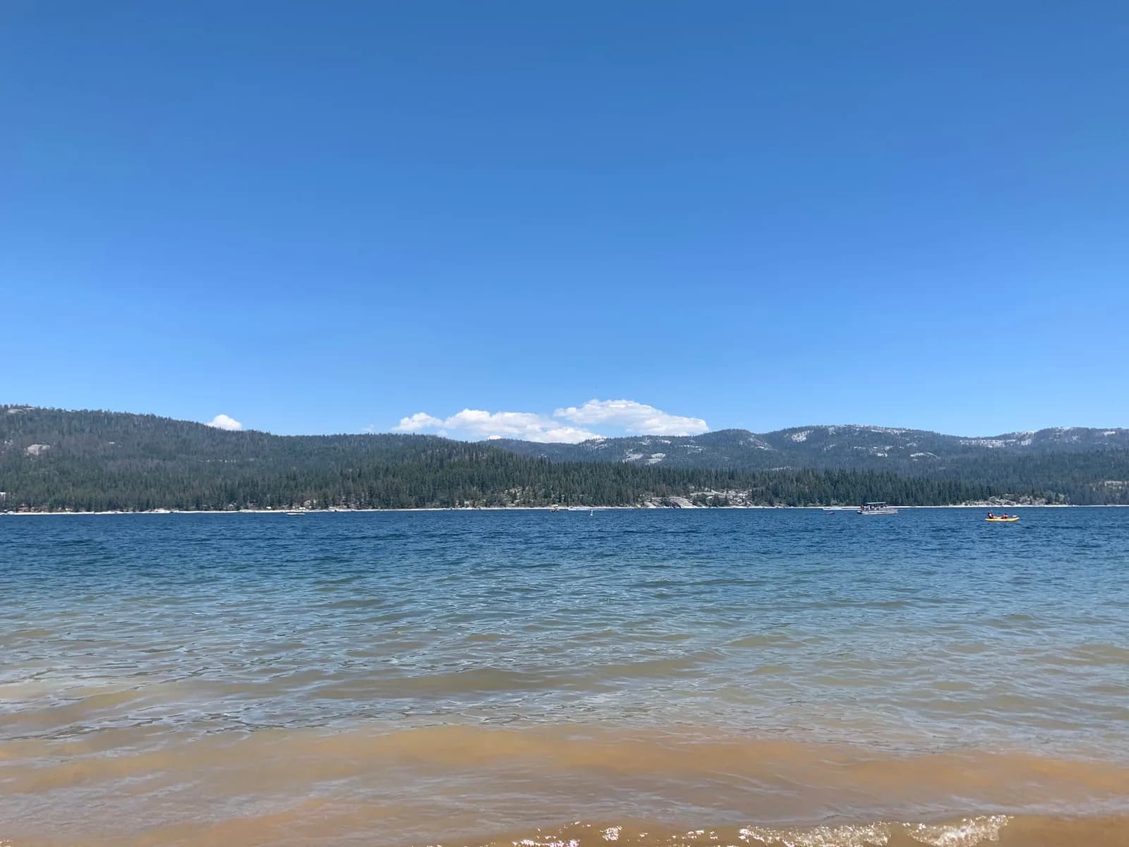
Camp Edison Day Use Beach
Shaver Lake, Californiareservoir
⛺🛶🏄🚤