Auburn Swim Hole on American River
Auburn, California · on North Fork American River · Auburn State Recreation Area
Verified · 3 independent sources
- WATER
- river
- ACCESS
- Designated swim area
- FEE
- $10 per vehicle
- SEASON
- Best in summer
About Auburn Swim Hole on American River
This spot sits within Auburn State Recreation Area on the North Fork American River, at or near the confluence area where the North and Middle Forks meet along Highway 49 south of Auburn, California. It is a well-known local swimming hole, a stretch of river to swim in with natural pools and sandy beaches, reached by a short walk down from roadside parking near the Highway 49 bridge. Auburn SRA charges a $10 vehicle day-use fee and lists swimming among its activities, though there is no lifeguard on duty.
The swim area lies in the steep, oak- and gray pine-covered canyon of the North Fork American River within Auburn State Recreation Area, near where the North and Middle Forks converge beneath the Highway 49 bridge. The historic 1912 Mountain Quarries Railroad Bridge ("No Hands Bridge"), a National Register of Historic Places landmark, spans the canyon roughly a quarter mile downstream of the confluence, and the Western States, Quarry, and Lake Clementine trails all radiate from this hub.
Swimming at Auburn Swim Hole on American River
Swimmers use a stretch of the river with slower-moving water below the Highway 49 bridge, described by a first-hand visitor as clear enough to use goggles in but deep enough in most spots that you can't touch bottom. Nearby stretches have sandy beach areas and natural pools that are more suitable for wading and casual cooling off; the bridge itself provides shade over the calmest water.
How to get to this swimming hole
From Auburn, take Highway 49 South toward the Foresthill Bridge area; after about 10 minutes of winding road, park near the Highway 49 bridge crossing of the American River (one visitor references "gate #137" as a landmark) and walk down the slope to the water.
Parking: Roadside parking is available on both sides of Highway 49 near the bridge; it is limited and fills by early-to-mid morning on summer weekends.
The hike in
- To the water
- ~0.05-0.1 mi (a short, easy walk down a dirt slope, roughly a few hundred feet) from the roadside pullout to the river's edge
- Time on foot
- 1-5 minutes down to the water; add ~30-45 minutes round trip if also walking out to No Hands Bridge
Difficulty: easy
Trailhead: No formally named trail serves the water directly; access is an informal dirt slope/use-path from the Highway 49 roadside pullouts, about 5 miles south of Auburn via Hwy 49, right at the bridge crossing the North Fork American River near the North/Middle Fork confluence.
This short slope-walk is separate from the more established ~2-mile round-trip walk (about 1 mile one-way) from the same general parking area out to the historic No Hands Bridge, which sits about a quarter mile further downstream of the confluence and is a common add-on but not required to reach the swimming water.
No river crossings or scrambling needed to reach the swim area itself; footing on the slope can be loose dirt/gravel.
Plan your visit
Bringing kids
OK with supervision
No lifeguard is on duty and the confluence pool itself runs deep enough in most spots that a first-hand visitor account says you can't touch bottom; current and depth can change rapidly with upstream reservoir releases, and multiple sources note drownings occur in the American River most summers. Families report using the sandy beach/shallower margins for wading and keeping young kids out of the main channel; doable with direct supervision but not a shallow, contained wading pool.
Parking
Paid, $10 per vehicle (Auburn SRA day-use fee)
Informal roadside pullout parking on both sides of Highway 49 near the bridge over the North Fork American River, paid at a self-pay kiosk (cash needed if no ranger present); spots are limited and fill by early-to-mid morning on summer weekends.
Water clarity
Mostly clear
One first-hand visitor account describes the confluence pool water as clear enough to use goggles in, though deep enough in most spots to be over one's head. Clarity is best in mid-to-late summer (best by August per local guides) once spring snowmelt and high flows subside; it can turn murkier and faster during and after upstream reservoir releases or spring runoff.
Hours
Day use sunrise to sunset (Auburn SRA); the park's Auburn sector office operates 8am-4pm daily except holidays for fee/permit questions.
On the water
Restrictions: This stretch is whitewater river, not a flatwater launch area; visit-auburn.com's general Auburn SRA activities page lists American River rafting from mellow floats up to Class IV rapids and separately lists kayaking at Lake Clementine (a different sub-area of the same park), explicitly cautioning to always wear a life jacket when kayaking, never swim alone, and to check river flow at the California Data Exchange Center before visiting. No designated boat launch, rental kiosk, or carry-in-only signage specific to this exact Highway 49 confluence pullout was found in official sources.
No evidence found of casual kayak/SUP use being common at this specific spot; the searches turned up general park-wide rafting/kayaking activity listings rather than confirmation that people launch personal watercraft from this pullout itself.
What regulars say
One recent visitor describes an easy walkable slope to the water, water clear enough for goggles but deep enough to be over your head in most spots, and the American River's tendency for rapid flow increases from upstream releases as a real hazard rather than a rare event. Other visitors add that parking along this stretch fills by early morning in summer, rocks in the riverbed can be sharp and slippery, on-site facilities are minimal, and water levels are considered safest by August after spring runoff subsides.
Backstory
The nearby No Hands Bridge (originally the Mountain Quarries Railroad Bridge) was built in 1912 to carry quarry material by rail, is a reinforced-concrete arch structure about 482 feet long, survived the 1964 Hell Hole Dam failure, and is listed on the National Register of Historic Places and as California Historical Landmark No. 1051.
Auburn Swim Hole on American River: FAQ
Does Auburn Swim Hole on American River charge a fee?
$10 per vehicle day-use fee for Auburn State Recreation Area, paid at self-pay kiosks (cash needed if no ranger is present); multiple state park annual passes are also accepted.
Is Auburn Swim Hole on American River kid friendly?
No lifeguard is on duty and the confluence pool itself runs deep enough in most spots that a first-hand visitor account says you can't touch bottom; current and depth can change rapidly with upstream reservoir releases, and multiple sources note drownings occur in the American River most summers. Families report using the sandy beach/shallower margins for wading and keeping young kids out of the main channel; doable with direct supervision but not a shallow, contained wading pool.
How hard is the hike to Auburn Swim Hole on American River?
A hike is required, about ~0.05-0.1 mi (a short, easy walk down a dirt slope, roughly a few hundred feet) from the roadside pullout to the river's edge to the water (1-5 minutes down to the water; add ~30-45 minutes round trip if also walking out to no hands bridge). Wear real shoes, since approaches to natural swim spots are often rocky or rooty.
Where do I park for Auburn Swim Hole on American River?
Informal roadside pullout parking on both sides of Highway 49 near the bridge over the North Fork American River, paid at a self-pay kiosk (cash needed if no ranger present); spots are limited and fill by early-to-mid morning on summer weekends.
Can I bring a kayak or paddleboard to Auburn Swim Hole on American River?
No evidence found of casual kayak/SUP use being common at this specific spot; the searches turned up general park-wide rafting/kayaking activity listings rather than confirmation that people launch personal watercraft from this pullout itself.
When is the best time to visit Auburn Swim Hole on American River?
June through September, with conditions considered safest and lowest-flow by August; spring and early summer flows are cold, fast, and can rise rapidly.
What are the rules at Auburn Swim Hole on American River?
Standard Auburn SRA rules apply: dogs allowed on leash (max 6 ft) except at Lake Clementine; gold panning limited to hands and pans, max 15 lbs/person/day; no removal of natural or cultural features; no metal detectors; fire restrictions in effect; day use is sunrise to sunset.
What water body is Auburn Swim Hole on American River on?
Auburn Swim Hole on American River is on North Fork American River, a natural river verified in USGS hydrography data.
More swimming holes near Auburn
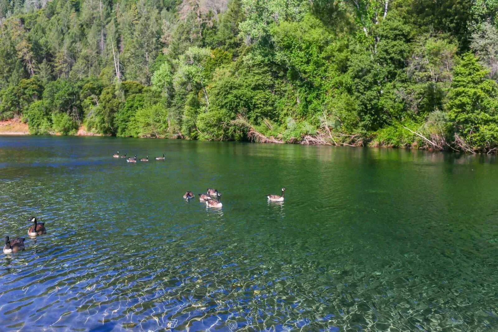
Upper Lake Clementine Beach
Auburn, Californiareservoir
⛺🛶🏄
 ★ Top verified
Granite Bay Main Beach
Granite Bay, Californialake
🛶🏄🚤
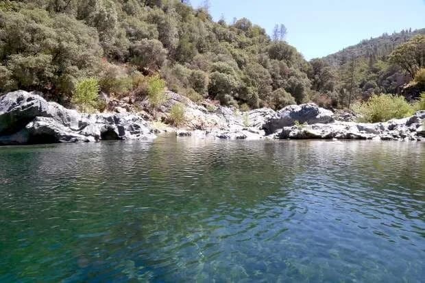
Jones Bar
Nevada City, Californiariver
🥾 1.5 mi hike⛺
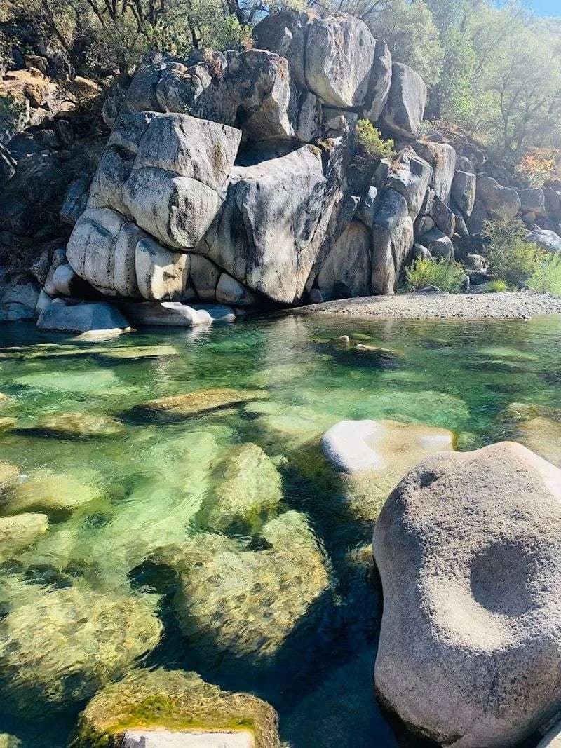
Hoyt’s Crossing
Nevada City, Californiariver
🥾 1.5 mi hike⛺
 ★ Top verified
South Yuba Recreation Area
Nevada City, Californiariver
⛺🛶
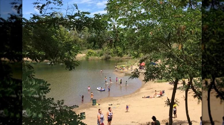
Paradise Beach
Sacramento, Californiariver