Bulltown Swim Area - Burnsville Lake
Napier, West Virginia · on Little Kanawha River · Burnsville Recreation Area
Verified · 5 independent sources · top-verified
- WATER
- reservoir
- ACCESS
- Designated swim area
- FEE
- $34
- SEASON
- Best in summer
About Bulltown Swim Area - Burnsville Lake
Bulltown Swim Area is a U.S. Army Corps of Engineers-managed swimming hole and beach at the Bulltown Day-Use Area on Burnsville Lake, a 968-acre reservoir impounding the Little Kanawha River near Napier, West Virginia. For travelers on I-79 looking for a lake to swim in, it is reached via Exit 67 (northbound) or Exit 91 (southbound), sits within a mile of the Bulltown Camp campground within the Burnsville Lake Recreation Area, and is adjacent to the historic Bulltown Civil War battle site.
The swim area lies on the shore of Burnsville Lake, a flood-control reservoir on the Little Kanawha River within the Burnsville Lake Recreation Area/Wildlife Management Area in Braxton County, West Virginia, amid old farm fields and young forest on gentle uplands. The lake's summer pool covers 968 acres with about 30 miles of shoreline, a 9.5-mile length, and 14-foot average depth (USACE). The surrounding land includes the Bulltown Camp campground, boat ramps, a marina, and the Bulltown Historical Village/battlefield area.
Swimming at Bulltown Swim Area - Burnsville Lake
The Bulltown Day-Use Area includes a designated swimming beach with accessible restrooms and change booths, located near Bulltown Campground and the Bulltown Historical Area (USACE brochure). Recreation.gov lists swimming, boating, kayaking, canoeing, tubing, and water-skiing as activities at Burnsville Lake. No source gives specific detail on beach water depth or bottom type, and no lifeguard presence is documented.
How to get to this swimming hole
From I-79, take Exit 67 if traveling northbound or Exit 91 if traveling southbound to reach the Bulltown/headwaters recreation areas; from the Exit 67 approach this is via WV Route 19 North for roughly 13 miles (recreation.gov). The Bulltown Day-Use Area/swim beach is about a mile from Bulltown Camp campground and adjoins the Bulltown Historical Area and Civil War Confederate Overlook.
Parking: The USACE Burnsville Lake recreation map marks a parking area directly at the Bulltown Day-Use Area, alongside the swim beach, boat launch ramp, and picnic shelters (USACE brochure). No further detail (lot size, paved/gravel, capacity) was found.
The walk in
No real hike here. The water is a short walk from where you park. Drive-up access: the USACE recreation map shows the swimming-beach icon directly next to the marked parking area, boat ramp, and picnic shelters at the Bulltown Day-Use Area, reached via I-79 Exit 67 (northbound) or Exit 91 (southbound). No trail or hike is needed to reach the water from the lot.
Plan your visit
Bringing kids
OK with supervision
This is a designated USACE swim beach (not a wild swimming hole), but no source documents lifeguards on duty, and no source specifies the beach's water depth, slope, or bottom type near shore. Given the reservoir setting and unsupervised nature of the beach, parents should watch children directly rather than assume a shallow, guarded shoreline.
Parking
Lot
The USACE recreation map marks a dedicated parking area directly at the Bulltown Day-Use Area, immediately alongside the swim beach, boat launch ramp, and picnic shelters. No day-use admission fee for the beach/parking itself was found in any source; published fees ($34-46/night, etc.) apply to camping/shelters, not beach parking.
Restrooms
Yes
Accessible restrooms and change booths are built directly into the Bulltown Day-Use Area swim beach itself, not just at the nearby campground (USACE Burnsville Lake visitor brochure).
Hours
No daily open/close hours are posted for the swim beach in available sources. Functionally, the beach is only usable during the lake's summer pool elevation (789 ft msl), which USACE maintains April through October; the pool is drawn down about 13 feet for winter flood storage November through March, which is the practical 'season' rather than a daily schedule.
On the water
Recreation.gov lists boating, kayaking, canoeing, tubing, and water-skiing among activities at Burnsville Lake. The USACE recreation map legend marks both a 'No Wake Speed Zone' (around the dam/tailwater/Riffle Run area) and an 'Unlimited Speed Zone' elsewhere on the lake, and water-skiing being listed as an activity implies motorized/high-speed boating is permitted in at least part of the lake, but no source pinpoints which zone designation applies specifically off the Bulltown swim beach, so a beach-specific restriction is left unconfirmed rather than assumed.
Backstory
The Bulltown area was the site of a Civil War battle; USACE recreation.gov materials note twice-yearly battle reenactments and the nearby Bulltown Historical Village, which recreates pioneer/Civil War-era life. Wikipedia notes that before the dam was built (completed 1976), residents of Burnsville and surrounding communities had to travel to Bulltown for recreation, and many opposed the dam's construction due to flooding of ancestral lands and cemeteries.
Bulltown Swim Area - Burnsville Lake: FAQ
Does Bulltown Swim Area - Burnsville Lake charge a fee?
Bulltown Campground: $34-$46/night; Burnsville Lake Shelters: $40-$50/night; Riffle Run Campground: $28-$46/night (Recreation.gov). Camping and day-use areas at Burnsville Lake are noted as fee-based with reservations via Recreation.gov (corpslakes.erdc.dren.mil), but no source specifies a separate admission fee for the Bulltown Day-Use Area swim beach itself.
Is Bulltown Swim Area - Burnsville Lake kid friendly?
This is a designated USACE swim beach (not a wild swimming hole), but no source documents lifeguards on duty, and no source specifies the beach's water depth, slope, or bottom type near shore. Given the reservoir setting and unsupervised nature of the beach, parents should watch children directly rather than assume a shallow, guarded shoreline.
Do I need to hike to reach Bulltown Swim Area - Burnsville Lake?
No significant hike is required. The swimming area is close to parking and access.
Where do I park for Bulltown Swim Area - Burnsville Lake?
The USACE recreation map marks a dedicated parking area directly at the Bulltown Day-Use Area, immediately alongside the swim beach, boat launch ramp, and picnic shelters. No day-use admission fee for the beach/parking itself was found in any source; published fees ($34-46/night, etc.) apply to camping/shelters, not beach parking.
Can I bring a kayak or paddleboard to Bulltown Swim Area - Burnsville Lake?
Recreation.gov lists boating, kayaking, canoeing, tubing, and water-skiing among activities at Burnsville Lake. The USACE recreation map legend marks both a 'No Wake Speed Zone' (around the dam/tailwater/Riffle Run area) and an 'Unlimited Speed Zone' elsewhere on the lake, and water-skiing being listed as an activity implies motorized/high-speed boating is permitted in at least part of the lake, but no source pinpoints which zone designation applies specifically off the Bulltown swim beach, so a beach-specific restriction is left unconfirmed rather than assumed.
When is the best time to visit Bulltown Swim Area - Burnsville Lake?
USACE maintains Burnsville Lake's summer pool elevation (789 ft msl) from April through October, lowering it by about 13 feet for additional flood-storage capacity from early November through March (USACE brochure). This April-October window is the lake's main recreation season; swimming itself is a warm-weather activity typically clustered in the summer months within that period.
What are the rules at Bulltown Swim Area - Burnsville Lake?
Bulltown Camp campground rules include a 14-day stay limit, quiet hours, and pet restrictions (Recreation.gov); no beach-specific regulations (e.g., hours, alcohol, lifeguard requirements) were found in available sources.
What water body is Bulltown Swim Area - Burnsville Lake on?
Bulltown Swim Area - Burnsville Lake is on Little Kanawha River, a natural reservoir verified in USGS hydrography data.
More swimming holes near Napier
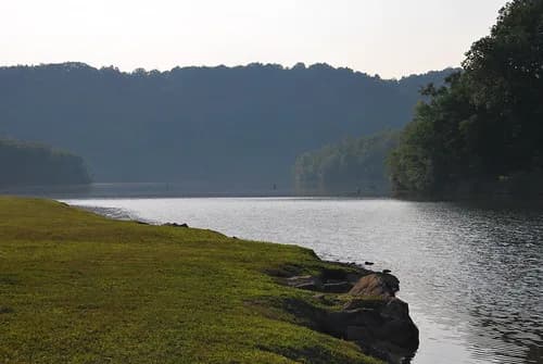
Bulltown Swim Beach
Napier, West Virginiareservoir
⛺🛶🚤
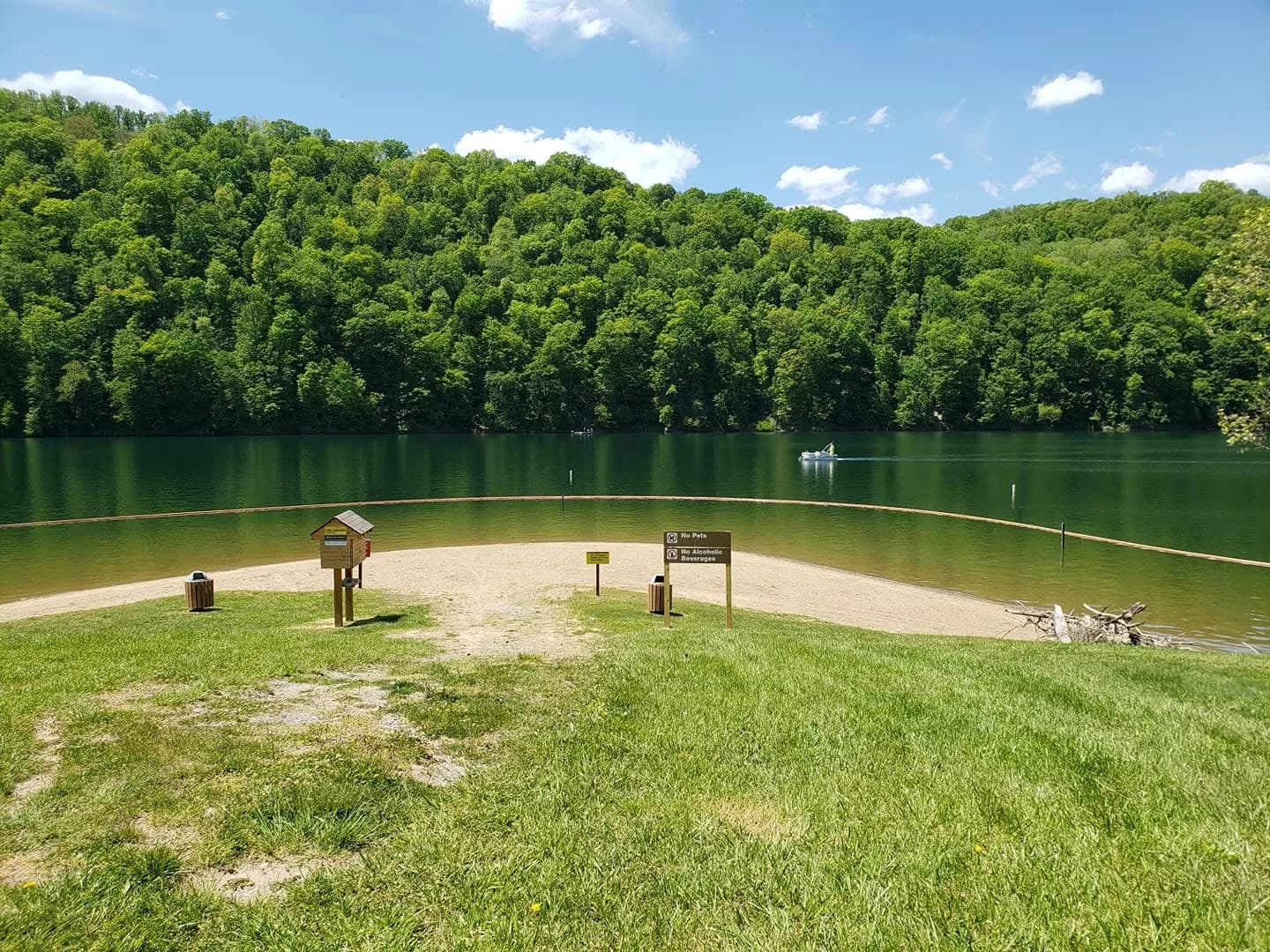
Bee Run Recreation Area Beach
Sutton, West Virginiareservoir
⛺🛶🏄🚤
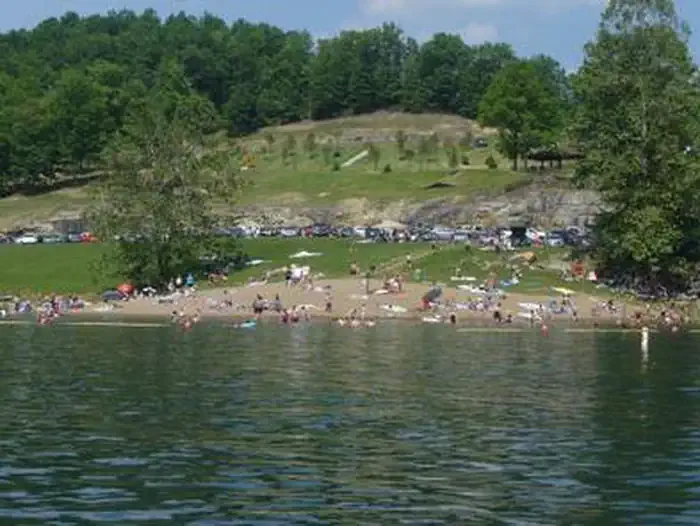
Sutton Lake Beach
Sutton, West Virginiareservoir
⛺🛶🏄🚤
 ★ Top verified
Blue Bend
White Sulphur Springs, West Virginiacreek
⛺
 ★ Top verified
Coles Point Boat Ramp
Hot Springs, Virginiareservoir
⛺🛶🏄🚤
 ★ Top verified
Glade Creek Falls
Beaver, West Virginiawaterfall pool
🥾 1 mi hike⛺