White River Swimming Spot
South Royalton, Vermont · on White River
Verified · 3 independent sources
- WATER
- river
- ACCESS
- Local spot, unofficial
- FEE
- No fee found
- SEASON
- Best in summer
About White River Swimming Spot
This point sits along the White River in South Royalton, Vermont, on the Chelsea Street/Route 14 corridor that regional guides and news sources identify as a popular informal swimming stretch. For anyone after a classic swimming hole, or simply a river to swim in, the White River through South Royalton has numerous roadside pull-off access points, plus a few named, more established spots nearby (Paine's Beach, the Chelsea Street bridge access, and Pinch Rock a few miles south) that are documented by local media and river conservation groups.
The spot is on the White River as it flows through the village of South Royalton in Windsor County, Vermont, where Route 14 (Chelsea Street) runs close alongside the river between South Royalton and Sharon. The river here is a mid-sized New England river with a mix of riffles, pools, and exposed bedrock/rock outcroppings typical of the stretch.
Swimming at White River Swimming Spot
Swimming along this stretch is informal river swimming: shallow rocky shoreline and pools alternate with sections of swifter current. Local accounts describe calmer water forming away from bridge pilings and other constrictions, with some spots (like the nearby Paine's Beach) offering a sandy, kid-friendly shoreline, while others require more caution due to current.
How to get to this swimming hole
Located along Route 14 (Chelsea Street) in South Royalton, in the stretch where the road parallels the White River between South Royalton and Sharon; access is via informal roadside turn-offs and parking pull-offs rather than a single marked trailhead.
Parking: Small informal roadside pull-offs along Route 14/Chelsea Street; no dedicated formal parking lot is documented at this exact point, though established access points nearby (Paine's Beach, Pinch Rock) have small dedicated parking areas.
The hike in
- Time on foot
- Under a few minutes' walk from a roadside pull-off down to the riverbank.
No trail is involved; this is drive-up/roadside river access via pull-offs along Route 14 (Chelsea Street), part of the informal swimming corridor between South Royalton and Sharon.
For comparison, the similarly informal Pinch Rock access a few miles south on the same river has a short stone staircase from its small parking area down to the water, illustrating the typical access style along this stretch.
Plan your visit
Bringing kids
OK with supervision
Nearby Paine's Beach (about 0.5 mi north via North Windsor Street) has a sandy shoreline explicitly described by a regional newspaper guide as 'an ideal place to bring little kids,' but the immediate Route 14/Chelsea Street corridor (where this point sits) was specifically named in a July 2025 TV news report warning of strong currents capable of sweeping an adult off their feet, plus submerged rocks; current is worst directly under the Chelsea Street bridge and eases toward its east end. Supervise kids closely and avoid bridge pilings/fast current.
Parking
Free
Small informal pull-offs along Route 14 (Chelsea Street) rather than a single dedicated lot at this exact point. Nearby established access points on the same river corridor have small dedicated parking: Pinch Rock (a few miles south) has a small parking area with stone stairs down to the river; Paine's Beach has a small park/picnic area reached via North Windsor Street.
On the water
Restrictions: Carry-in/informal access only, no boat ramp or motorized launch at this point; this reach of the White River is shallow and rocky and not used for motorboats.
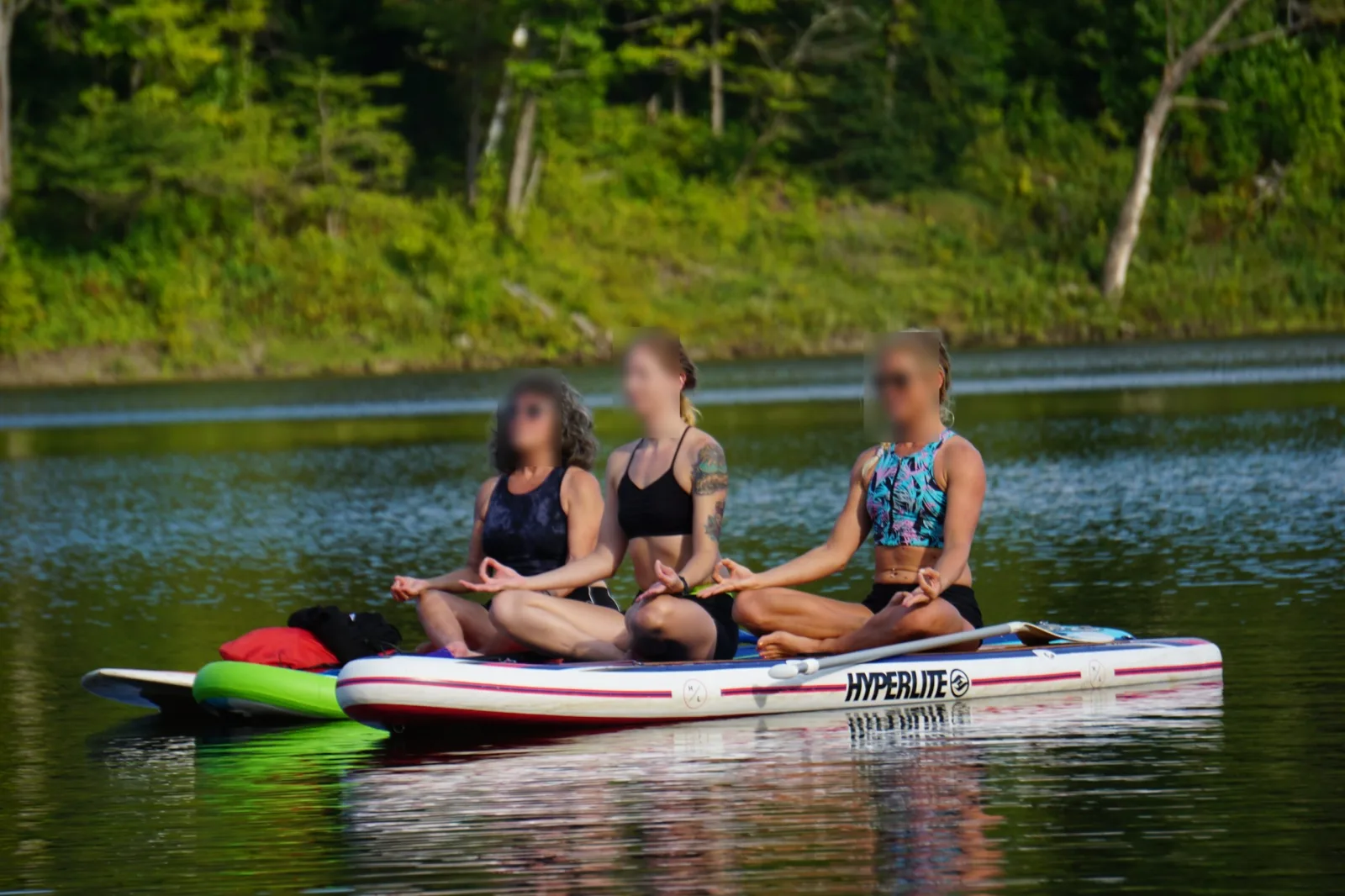
Pinch Rock, a few miles south on this same river corridor, is documented as a popular launch for tubers and paddlers. The White River Partnership also describes the nearby 'Avery's Rock to Sharon' reach as workable for canoe poling and paddleboarding, water-level dependent, suggesting the broader Route 14 corridor (including this point) sees similar informal tubing/paddling rather than powered watercraft.
What regulars say
Local guides describe this stretch of Route 14 between South Royalton and Sharon as having 'several great spots to swim' accessed via informal roadside turn-offs. A July 2025 regional TV news report specifically flagged the White River in South Royalton as having dangerous currents strong enough to sweep an adult off their feet, plus submerged rocks, and urged swimmers to survey depth and current before entering rather than jumping in blind.
White River Swimming Spot: FAQ
Is White River Swimming Spot kid friendly?
Nearby Paine's Beach (about 0.5 mi north via North Windsor Street) has a sandy shoreline explicitly described by a regional newspaper guide as 'an ideal place to bring little kids,' but the immediate Route 14/Chelsea Street corridor (where this point sits) was specifically named in a July 2025 TV news report warning of strong currents capable of sweeping an adult off their feet, plus submerged rocks; current is worst directly under the Chelsea Street bridge and eases toward its east end. Supervise kids closely and avoid bridge pilings/fast current.
Do I need to hike to reach White River Swimming Spot?
No significant hike is required. The swimming area is close to parking and access.
Where do I park for White River Swimming Spot?
Small informal pull-offs along Route 14 (Chelsea Street) rather than a single dedicated lot at this exact point. Nearby established access points on the same river corridor have small dedicated parking: Pinch Rock (a few miles south) has a small parking area with stone stairs down to the river; Paine's Beach has a small park/picnic area reached via North Windsor Street.
Can I bring a kayak or paddleboard to White River Swimming Spot?
Pinch Rock, a few miles south on this same river corridor, is documented as a popular launch for tubers and paddlers. The White River Partnership also describes the nearby 'Avery's Rock to Sharon' reach as workable for canoe poling and paddleboarding, water-level dependent, suggesting the broader Route 14 corridor (including this point) sees similar informal tubing/paddling rather than powered watercraft.
When is the best time to visit White River Swimming Spot?
Summer, when regional guides and news reports describe the White River in South Royalton as a popular hot-weather swimming destination.
What water body is White River Swimming Spot on?
White River Swimming Spot is on White River, a natural river verified in USGS hydrography data.
More swimming holes near South Royalton
 ★ Top verified
Union Village Dam Recreation Area
East Thetford, Vermontriver
⛺
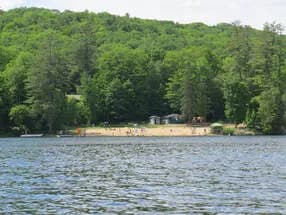
Treasure Island - Thetford, VT, USA
Fairlee, Vermontlake
⛺🛶
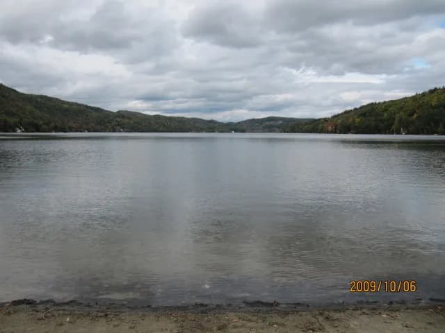
Fairlee Town Beach
Fairlee, Vermontlake
⛺
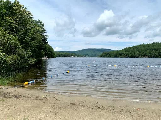
Shakoma Beach
Lebanon, New Hampshirelake
⛺
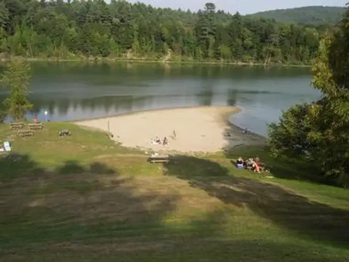
Stoughton Pond Recreation Area
Perkinsville, Vermontpond
⛺🛶
Wrightsville Beach Recreation Area
Middlesex, Vermontreservoir
🛶🏄🚤