Joes Valley Reservoir
Orangeville, Utah · Manti-La Sal National Forest
Verified · 5 independent sources
- WATER
- reservoir
- ACCESS
- Designated swim area
- FEE
- No fee found
- SEASON
- Varies by conditions
About Joes Valley Reservoir
Joes Valley Reservoir is a roughly 2-square-mile reservoir on the Wasatch Plateau within the Manti-La Sal National Forest, about 8 miles from Orangeville, Utah. Formed by a Bureau of Reclamation dam built in 1963-1965 that impounds Seely Creek, it is managed for irrigation and municipal water supply but also serves as a popular Forest Service recreation site and a legitimate lake to swim in. USFS-run campgrounds directly on the shore officially list swimming alongside boating, water skiing, canoeing, and fishing, which makes this a sanctioned swimming hole rather than an informal one.
The reservoir sits at about 7,000 feet elevation on the Wasatch Plateau, ringed by juniper, pinyon pine, sagebrush, aspen, and pine. It was created by an earthen dam (192 ft tall, 750 ft long) built by the U.S. Bureau of Reclamation between 1963 and 1965 to impound Seely Creek, and is now operated by the Emery Water Conservancy District; it is surrounded by the Manti-La Sal National Forest.
Swimming at Joes Valley Reservoir
Swimming is listed as an official recreational activity at both Forest Service campgrounds directly on the reservoir shore, alongside boating, water skiing, and canoeing, but neither source describes a designated beach, buoyed swim area, depth, or water clarity, swimming here appears to be informal, off the shoreline or from boats rather than at a dedicated swim facility.
How to get to this swimming hole
Parking: Paved roads and parking areas at the Joes Valley Reservoir Campground; a spacious gravel parking area at the adjacent Pavilion Group Site A that accommodates vehicles and RVs.
The walk in
No real hike here. The water is a short walk from where you park. Both Recreation.gov campground listings describe paved/gravel parking directly at the reservoir shoreline with campsites and a boat ramp on-site, indicating a drive-up spot rather than a hike-in swim area. The Forest Service recreation page mentions hiking and mountain biking are 'popular in the area' (and references nearby Straight and Cottonwood Canyons) but does not name a specific trail leading to the reservoir's swimming/shore area, so no separate hiking trail to the water could be confirmed.
Plan your visit
Bringing kids
OK with supervision
Swimming is informal off the shoreline (no designated swim beach, buoy line, or lifeguards found in any official source), and the reservoir also hosts active water skiing, canoeing, and motorboat traffic via the eastern-shore boat ramp, so young kids should be supervised closely and kept away from boat lanes; depth at the shoreline is not documented.
Parking
Lot
Paved roads and parking at Joes Valley Reservoir Campground; a separate gravel parking area at Pavilion Group Site A sized for vehicles and RVs. No day-use or parking fee was stated on either official listing.
Restrooms
Yes
Vault toilets and drinking water are provided at both Joes Valley Reservoir Campground and the adjacent Joes Valley Pavilion Group Site A, per their official Recreation.gov listings.
On the water
Official Recreation.gov listings for both shoreline campgrounds list water skiing, canoeing, and boating as popular/available activities, with a boat ramp on the eastern shoreline. No electric-only, no-wake, or other watercraft restriction was stated in any source found. Kayaks and paddleboards were not explicitly named in official material, though they would likely be permitted under the same general boating access, left out of the confirmed list per the no-guessing rule.
Backstory
The reservoir was formed by an earthen dam built by the U.S. Bureau of Reclamation between 1963 and 1965, impounding Seely Creek primarily for irrigation and municipal water supply; it is now operated by the local Emery Water Conservancy District.
Joes Valley Reservoir: FAQ
Is Joes Valley Reservoir kid friendly?
Swimming is informal off the shoreline (no designated swim beach, buoy line, or lifeguards found in any official source), and the reservoir also hosts active water skiing, canoeing, and motorboat traffic via the eastern-shore boat ramp, so young kids should be supervised closely and kept away from boat lanes; depth at the shoreline is not documented.
Do I need to hike to reach Joes Valley Reservoir?
No significant hike is required. The swimming area is close to parking and access.
Where do I park for Joes Valley Reservoir?
Paved roads and parking at Joes Valley Reservoir Campground; a separate gravel parking area at Pavilion Group Site A sized for vehicles and RVs. No day-use or parking fee was stated on either official listing.
Can I bring a kayak or paddleboard to Joes Valley Reservoir?
Official Recreation.gov listings for both shoreline campgrounds list water skiing, canoeing, and boating as popular/available activities, with a boat ramp on the eastern shoreline. No electric-only, no-wake, or other watercraft restriction was stated in any source found. Kayaks and paddleboards were not explicitly named in official material, though they would likely be permitted under the same general boating access, left out of the confirmed list per the no-guessing rule.
What are the rules at Joes Valley Reservoir?
Horses are not allowed in the Joes Valley Reservoir Campground, and off-road/recreational vehicle riding within the campground is prohibited (through-riding to access trails is permitted). The campground was under a construction closure from July 20 to August 2, 2026.
More swimming holes near Orangeville
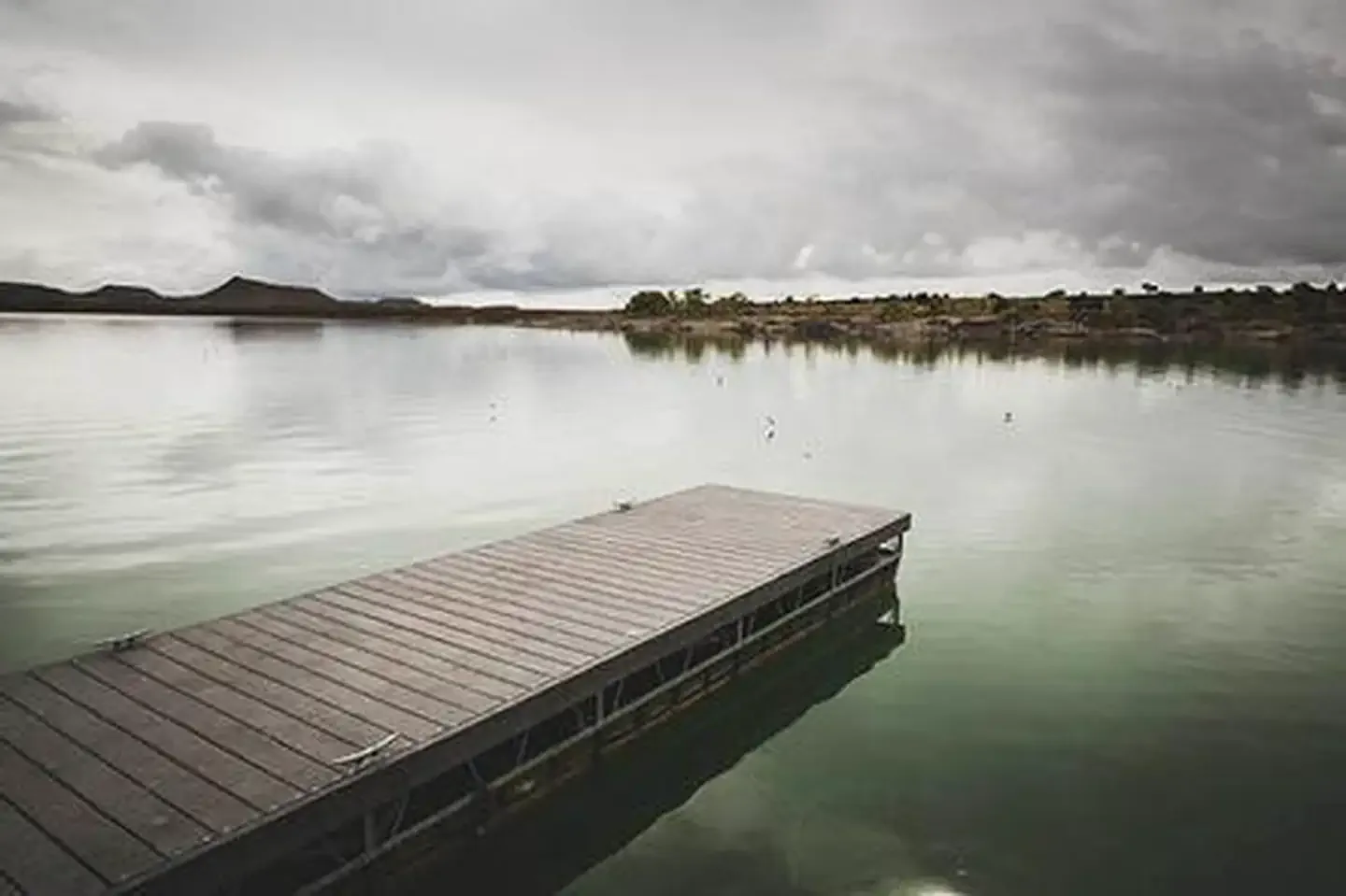
Millsite State Park
Huntington, Utahreservoir
⛺🚤
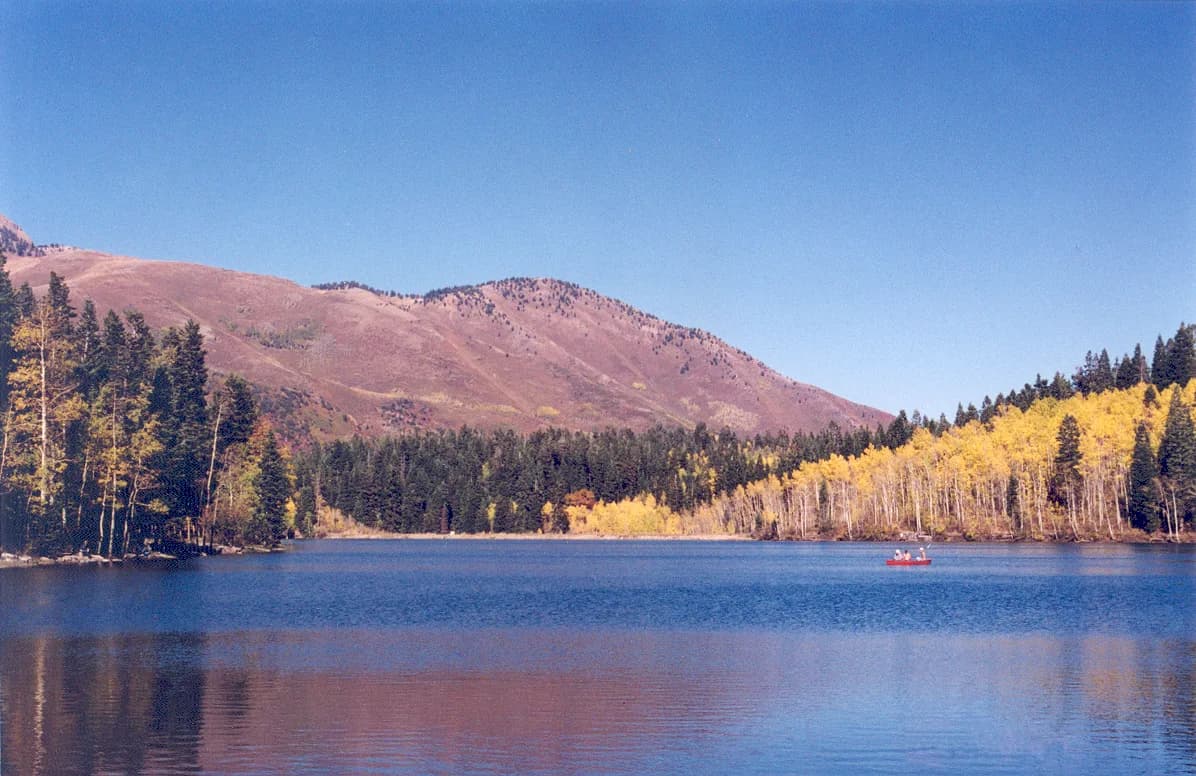
Payson Lakes Campground
Salem, Utahlake
⛺🛶
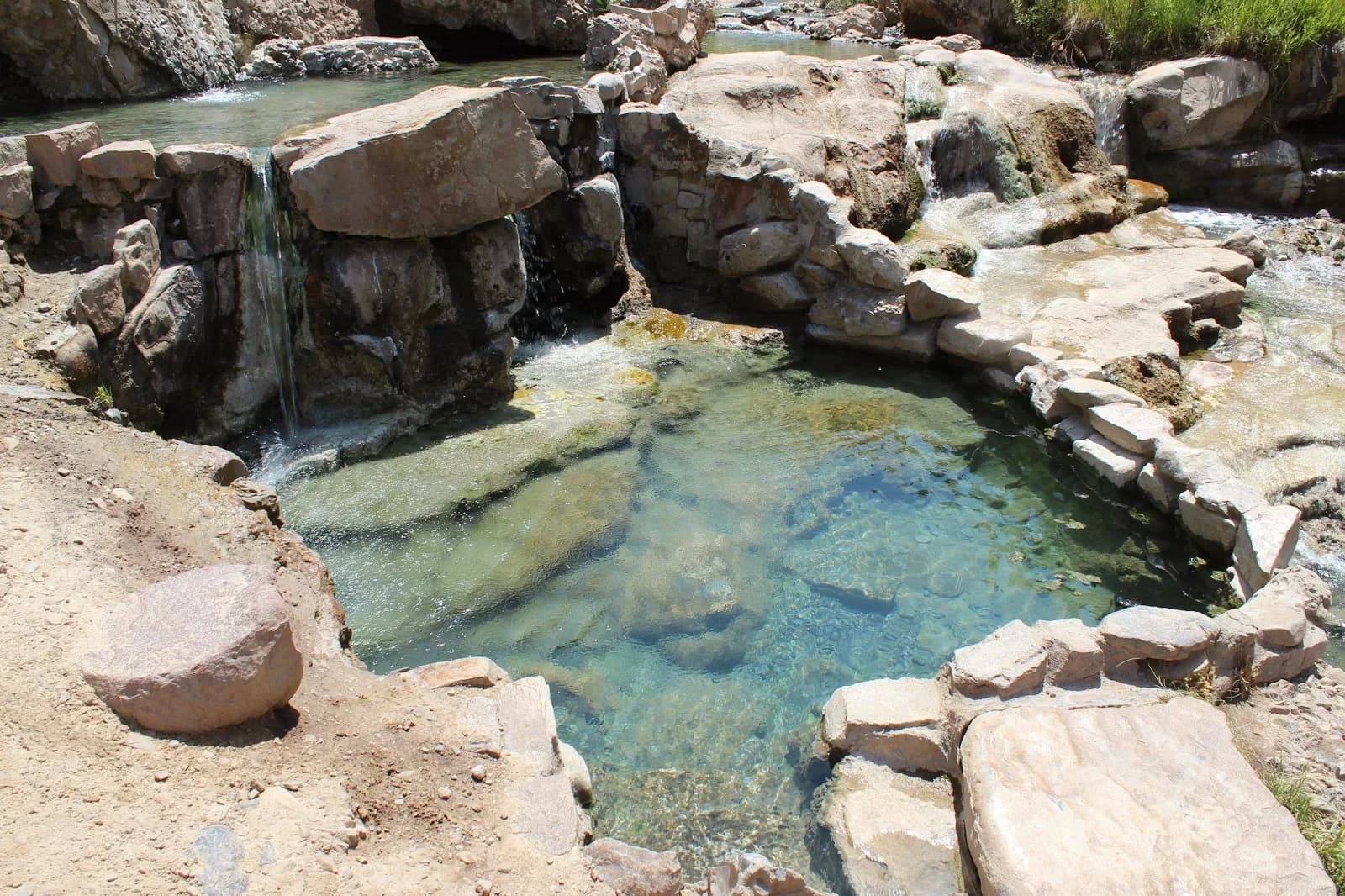
Fifth Water Hot Springs and Falls
Springville, Utahhot spring
🥾 2.5 mi hike⛺
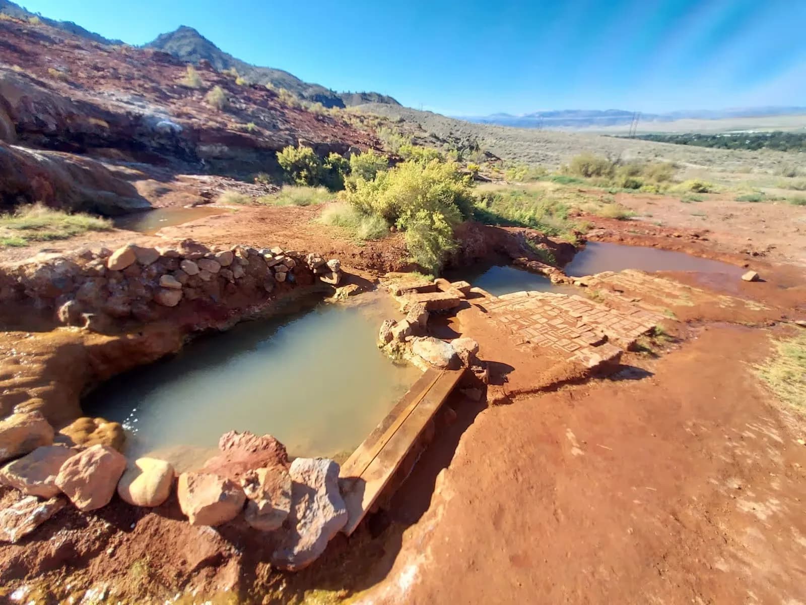
Red Hill Hot Springs
Monroe, Utahhot spring
⛺
Mystic Hot Springs
Monroe, Utahhot spring
⛺
 ★ Top verified
Fred Hayes State Park at Starvation
Duchesne, Utahreservoir
⛺🛶🏄🚤