Iona's Beach Scientific and Natural Area
Two Harbors, Minnesota · on Lake Superior
Verified · 2 independent sources
- WATER
- lake
- ACCESS
- Designated swim area
- FEE
- Free
- SEASON
- Spring
About Iona's Beach Scientific and Natural Area
Iona's Beach Scientific and Natural Area is a Minnesota DNR-managed site on Lake Superior's North Shore near Two Harbors, protecting a roughly 300-yard crescent of pink rhyolite 'singing stones' beach bounded by a rhyolite/felsite cliff to the north and a basalt headland to the south. It is one of only four Minnesota SNAs where the DNR explicitly designates swimming as an allowed activity, which makes this stretch of singing stones a rare officially sanctioned swimming hole, enjoyed alongside hiking, bird watching, and photography.
The SNA protects one of the largest and least-disturbed Lake Superior beaches in Lake County: a salmon-colored, 300-yard crescent of flattened pink rhyolite and felsite stones (sourced from a roughly 30-foot cliff at the beach's north end), bounded on the south by a grey basalt headland. The rock dates to Mid-Continent Rift volcanism roughly a billion years ago. Wave action rhythmically lifts and drops the stones, producing a high-pitched chiming ('singing stones') sound, while the basalt headland booms as waves surge into its crevices. The site's forest fringe includes pine, alder, paper birch, balsam poplar, mountain ash and dogwood, and it is a noted spot for warbler sightings (13 species recorded).
How to get to this swimming hole
From Gooseberry Falls State Park, drive about 3.1 miles north on MN Highway 61 and park in the upper lot of the Twin Points Water Access. Hike northeast on the Gitchi Gami State Trail and follow signs to the site.
Parking: Paved parking lot at the adjacent Twin Points Water Access (upper lot), off MN Highway 61, per official DNR directions.
The hike in
Short unnamed spur path from the Twin Points Water Access lot, reached via/alongside the paved Gitchi-Gami State Trail
- To the water
- Roughly 200 feet (about 0.04 mi) per one visitor-guide description of the path from the lot to the beach; another source describes it as a quarter-mile (0.25 mi) walk through a spruce/cedar corridor - sources disagree on exact length, but both describe a short, flat access walk, not a true hike.
- Time on foot
- Roughly 2-5 minutes one-way on foot.
Difficulty: Easy - a short, flat walk through spruce/cedar/birch forest; no elevation gain of note. The only difficulty is footing once you reach the beach itself, which is loose, rounded cobble stone.
Trailhead: Twin Points Water Access upper parking lot on MN Highway 61, about 3.1 miles north of Gooseberry Falls State Park's entrance.
This is a short access walk, not a hike requiring trail navigation or elevation; DNR directions say to head northeast from the Twin Points lot along the Gitchi-Gami State Trail corridor and follow signs to the site.
Plan your visit
Bringing kids
OK with supervision
No lifeguards and no shallow sandy entry - it's a stony/cobble beach with Lake Superior's open-water waves and cold temperatures. Kids need sturdy water shoes for footing on the rounded rhyolite stones, and there's a ~30-ft cliff at the north end of the beach to keep clear of. Fine for supervised wading and stone-collecting, but not a calm, easy swimming beach.
Parking
Free
Paved upper parking lot at the adjacent Twin Points Water Access, off MN Highway 61 (about 3.1 miles north of Gooseberry Falls State Park). Explore Minnesota lists site entry as free and no parking fee is mentioned by DNR. Note: DNR's Compass data states this lot is NOT plowed in winter - barrier cones block the entrance from roughly fall until spring snowmelt.
Restrooms
None on site
No restrooms, trash cans, or picnic tables on site per a visitor guide; neither official DNR page mentions any facilities, consistent with this being a primitive, undeveloped Scientific and Natural Area.
Water clarity
Clear
One visitor guide describes Lake Superior's water here as highly transparent, revealing underwater rock detail; this matches Lake Superior's general reputation as the clearest of the Great Lakes. No site-specific turbidity or algae issues were found in any source, but no first-hand diver/swimmer clarity report specific to Iona's Beach was located either.
Hours
No posted gate hours found (SNAs are generally open dawn to dusk with no staffed hours); the Twin Points parking area is closed/unplowed in winter per DNR, with cones blocking entry until spring.
On the water
No source specifies watercraft rules for the SNA beach itself. The DNR's SNA-specific restriction list for this site covers only biking (Gitchi-Gami Trail only), fishing, and swimming - it does not address kayaks/canoes/boats. The adjacent Twin Points Water Access does include a boat launch onto open Lake Superior, but that serves general lake boating rather than paddling to this stony, wave-exposed beach specifically, and open Lake Superior swells make it a poor kayak landing site regardless. Left blank rather than guessed.
Rentals nearby
Kayak and canoe rentals (sea kayaks and general kayaks), plus bike rentals/e-bikes and BWCAW canoe-outfitting trips
7213 MN Highway 61, Tofte, MN - roughly 60 highway miles / ~1.5 hr drive northeast up the North Shore from Iona's Beach, not a nearby option but the closest verified kayak/canoe outfitter found serving this stretch of Highway 61. · Summer (May 22-Sept 5): daily 7am-6pm. Spring/Fall: daily 8am-6pm. Winter: closed Mon-Wed, open Thu-Sun 8am-6pm. Closed Oct 19-Dec 25 and Apr 5-30. (Per store-hours page; after-hours pickup available by arrangement.)
Backstory
Acquired to protect one of the largest and least-disturbed Lake Superior beaches in Lake County; designated a Scientific and Natural Area on 10/05/2001.
Iona's Beach Scientific and Natural Area: FAQ
Does Iona's Beach Scientific and Natural Area charge a fee?
No fee (Explore Minnesota's state tourism profile lists entry as free; no fee is mentioned on the official DNR site page).
Is Iona's Beach Scientific and Natural Area kid friendly?
No lifeguards and no shallow sandy entry - it's a stony/cobble beach with Lake Superior's open-water waves and cold temperatures. Kids need sturdy water shoes for footing on the rounded rhyolite stones, and there's a ~30-ft cliff at the north end of the beach to keep clear of. Fine for supervised wading and stone-collecting, but not a calm, easy swimming beach.
How hard is the hike to Iona's Beach Scientific and Natural Area?
A hike is required, about Roughly 200 feet (about 0.04 mi) per one visitor-guide description of the path from the lot to the beach; another source describes it as a quarter-mile (0.25 mi) walk through a spruce/cedar corridor - sources disagree on exact length, but both describe a short, flat access walk, not a true hike. to the water (roughly 2-5 minutes one-way on foot.). Wear real shoes, since approaches to natural swim spots are often rocky or rooty.
Where do I park for Iona's Beach Scientific and Natural Area?
Paved upper parking lot at the adjacent Twin Points Water Access, off MN Highway 61 (about 3.1 miles north of Gooseberry Falls State Park). Explore Minnesota lists site entry as free and no parking fee is mentioned by DNR. Note: DNR's Compass data states this lot is NOT plowed in winter - barrier cones block the entrance from roughly fall until spring snowmelt.
When is the best time to visit Iona's Beach Scientific and Natural Area?
Spring through fall for moderate wave action (per aggregator source); dragonflies have been observed over the water as late as November per the DNR description.
What are the rules at Iona's Beach Scientific and Natural Area?
DNR restrictions specific to this SNA: biking permitted only on the designated Gitchi Gami State Trail, fishing (including shore fishing) is allowed, and swimming is explicitly allowed, one of only four Minnesota SNAs with an official swimming designation.
What water body is Iona's Beach Scientific and Natural Area on?
Iona's Beach Scientific and Natural Area is on Lake Superior, a natural lake verified in USGS hydrography data.
More swimming holes near Two Harbors
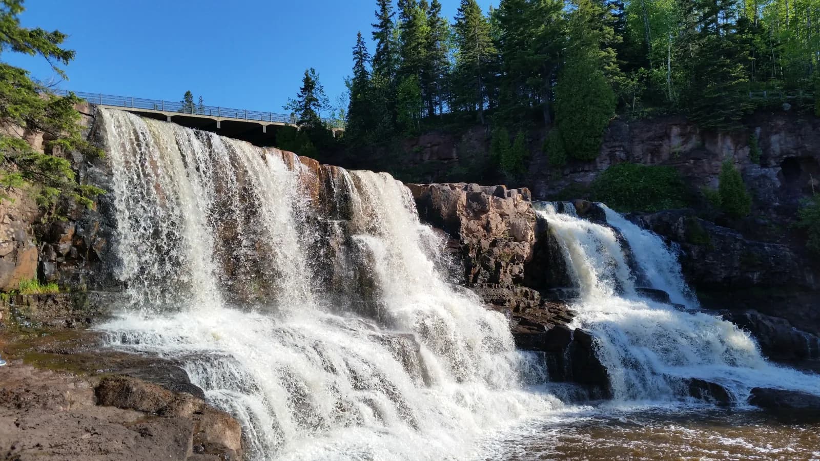
Gooseberry Falls State Park
Two Harbors, Minnesotariver
⛺🛶🏄
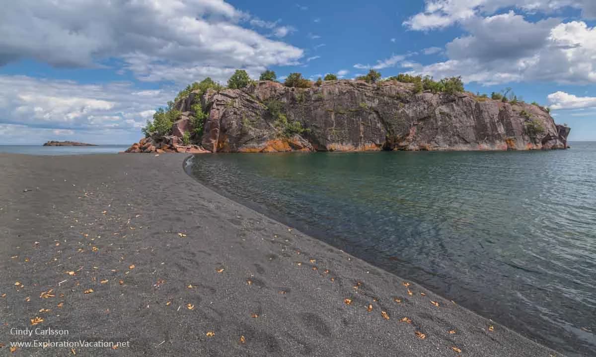
Black Beach
Silver Bay, Minnesotalake
🥾 hike in⛺🛶🏄
 ★ Top verified
Little Sand Bay Campground
Bayfield, Wisconsinlake
⛺🛶🚤
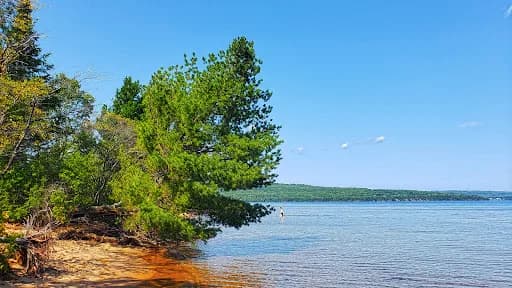
Friendly Valley Beach
Washburn, Wisconsinlake
⛺🛶🏄
 ★ Top verified
Two Lakes Campground
Drummond, Wisconsinlake
⛺🛶🏄🚤
 ★ Top verified
Paradise Beach
East Cook, Minnesotalake
🛶