Port Crescent State Park
Port Austin, Michigan · on Lake Huron · Port Crescent State Park
Verified · 3 independent sources
- WATER
- lake
- ACCESS
- Designated swim area
- FEE
- $12
- SEASON
- June
About Port Crescent State Park
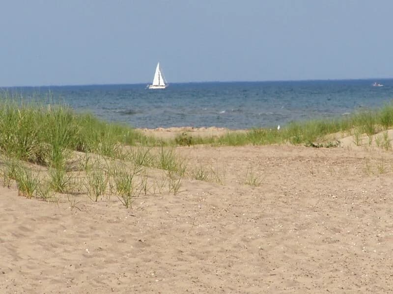
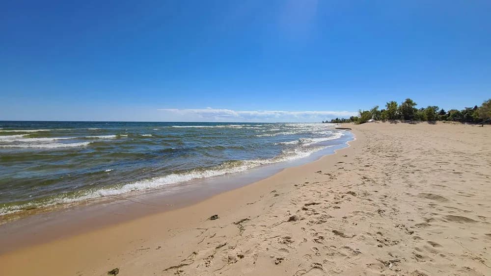
Port Crescent State Park is a 640-acre Michigan state park on Saginaw Bay/Lake Huron near the tip of the Thumb, about 3 miles from Port Austin. One of the best places to swim in the Thumb, it offers roughly 3 miles of sandy, dune-backed freshwater beach, an officially monitored swim beach rather than a hidden swimming hole, alongside camping, cabins, and hiking trails.
The park sits on the shore of Saginaw Bay (part of Lake Huron) in Huron County, occupying the site of the vanished 19th-century lumber town of Port Crescent. The landscape combines sandy dunes, forest, and boardwalk-lined shoreline, and the park holds a Michigan Dark Sky Preserve designation (since 2012) for its low light pollution.
Swimming at Port Crescent State Park
Swimming takes place off a roughly 3-mile sandy Lake Huron/Saginaw Bay beach described first-hand as soft white sand with clear, well-maintained water. Because the bay's waters are shallow and protected compared to open Lake Huron, they warm faster and stay comfortable for swimming from about mid-June through September; the beach is family-oriented with bathhouse, playground, and picnic facilities nearby.
How to get to this swimming hole
The park is located on Port Austin Road (M-25) between the towns of Port Austin and Caseville, about 3 miles from Port Austin at the tip of Michigan's Thumb; address given as 1775 Port Austin Road, Port Austin, MI 48467.
Parking: Designated day-use lots serve the beach; Lot C is described as the closest lot to the waterfront, with additional access via the campground and the Steel Bridge Trailhead.
The hike in
The main swim beach is a drive-up destination: park in the day-use lots (Lot C is closest) and walk directly onto the sand, a few minutes' walk at most. Separately, the Steel Bridge Trailhead (next to Dark Sky Lodge & Tavern on M-25) is the start of a distinct ~2.5-mile trail through forested dunes with three scenic overlooks that leads to its own sandy beach access point near the Pinnebog River mouth -- this is an optional scenic-hike alternative, not a requirement to reach the main swimming beach.
No hike is needed for the primary beach; the Steel Bridge trail is for visitors who specifically want the dunes/overlook hiking experience or that end of the shoreline.
Plan your visit
Bringing kids
OK with supervision
Shallow, sandy-bottom Saginaw Bay water warms faster than open Lake Huron and is described as family-oriented with soft white sand, but no lifeguards are documented at any source and only general Great Lakes/high-water safety advisories (currents, changing conditions) were found, not park-specific hazard mapping, so supervise kids closely rather than treating it as a fully guarded beach.
Parking
Paid, $12 advance/$17 day-of for MI residents ($6/$11 for motorcycles) via Recreation Passport; ~$9/day or $34/year for out-of-state vehicles
Multiple day-use lots serve the beach; Lot C is the closest lot to the waterfront. Additional beach access exists via the campground and via the separate Steel Bridge Trailhead lot off M-25 next to Dark Sky Lodge & Tavern.
Restrooms
Yes
A bathhouse serves the main day-use beach area (Lot C); the campground has its own modern bath/shower facilities. No public info found on restrooms specifically at the Steel Bridge access point.
Water clarity
Clear
A first-hand visitor description characterizes the beach water as clear and well-maintained, even notoriously clean, consistent with a shallow, sandy-bottomed protected bay. No additional candid visitor water-clarity reports were located beyond that account.
Hours
Listed as open year-round by Michigan's state tourism site; no specific daily gate hours were published in sources found (a Michigan Recreation Passport is required for day-use entry regardless of time).
On the water
Michigan's state tourism listing describes a roughly 7-mile round-trip canoe/kayak route from the park out to the Turnip Rock sea stack. A small boat landing is also part of the park's facilities (per prior dossier), suggesting small watercraft can be launched, but no explicit motorboat/wake rules were found in sources checked this pass, so that is left unconfirmed rather than guessed.
Rentals nearby
Single and tandem kayak rentals (guided/self-guided routes to Turnip Rock and Broken Rocks), plus bike and e-bike rentals; stand-up paddleboards available but the outfitter advises against SUP on the Turnip Rock route due to wind exposure
Prices: Turnip Rock route (single kayak only): $40-$45 for 4 hours. Broken Rocks route: single kayak $30-$35 / tandem kayak $40-$45 for 2 hours.
119 E. Spring Street, Port Austin, MI -- about 7.5 miles from Port Crescent State Park · Mon-Fri 9am-6pm; Sat-Sun 8am-7pm
Backstory
The park occupies the former site of Port Crescent, a lumber town that flourished in the 1860s-1880s and disappeared after the timber supply was exhausted; a 120-foot sawmill chimney landmark from that era was demolished in 1961 despite community opposition. The state park was established in 1955-56 and expanded by 455 acres in 1977.
Port Crescent State Park: FAQ
Does Port Crescent State Park charge a fee?
Michigan Recreation Passport required for day-use entry; day-use vehicle fees around $12 advance/$17 day-of for Michigan residents ($6/$11 for motorcycles), and about $9/day or $34/year for out-of-state vehicles.
Is Port Crescent State Park kid friendly?
Shallow, sandy-bottom Saginaw Bay water warms faster than open Lake Huron and is described as family-oriented with soft white sand, but no lifeguards are documented at any source and only general Great Lakes/high-water safety advisories (currents, changing conditions) were found, not park-specific hazard mapping, so supervise kids closely rather than treating it as a fully guarded beach.
Do I need to hike to reach Port Crescent State Park?
No significant hike is required. The swimming area is close to parking and access.
Where do I park for Port Crescent State Park?
Multiple day-use lots serve the beach; Lot C is the closest lot to the waterfront. Additional beach access exists via the campground and via the separate Steel Bridge Trailhead lot off M-25 next to Dark Sky Lodge & Tavern.
Can I bring a kayak or paddleboard to Port Crescent State Park?
Michigan's state tourism listing describes a roughly 7-mile round-trip canoe/kayak route from the park out to the Turnip Rock sea stack. A small boat landing is also part of the park's facilities (per prior dossier), suggesting small watercraft can be launched, but no explicit motorboat/wake rules were found in sources checked this pass, so that is left unconfirmed rather than guessed.
When is the best time to visit Port Crescent State Park?
Mid-June through September for comfortable swimming, when Saginaw Bay's shallow, protected water is warmest.
What are the rules at Port Crescent State Park?
Michigan Recreation Passport required for day-use park access; water quality is officially monitored weekly (May 23-Sept 9) against Michigan Dept of Community Health E. coli standards.
What water body is Port Crescent State Park on?
Port Crescent State Park is on Lake Huron, a natural lake verified in USGS hydrography data.
More swimming holes near Port Austin
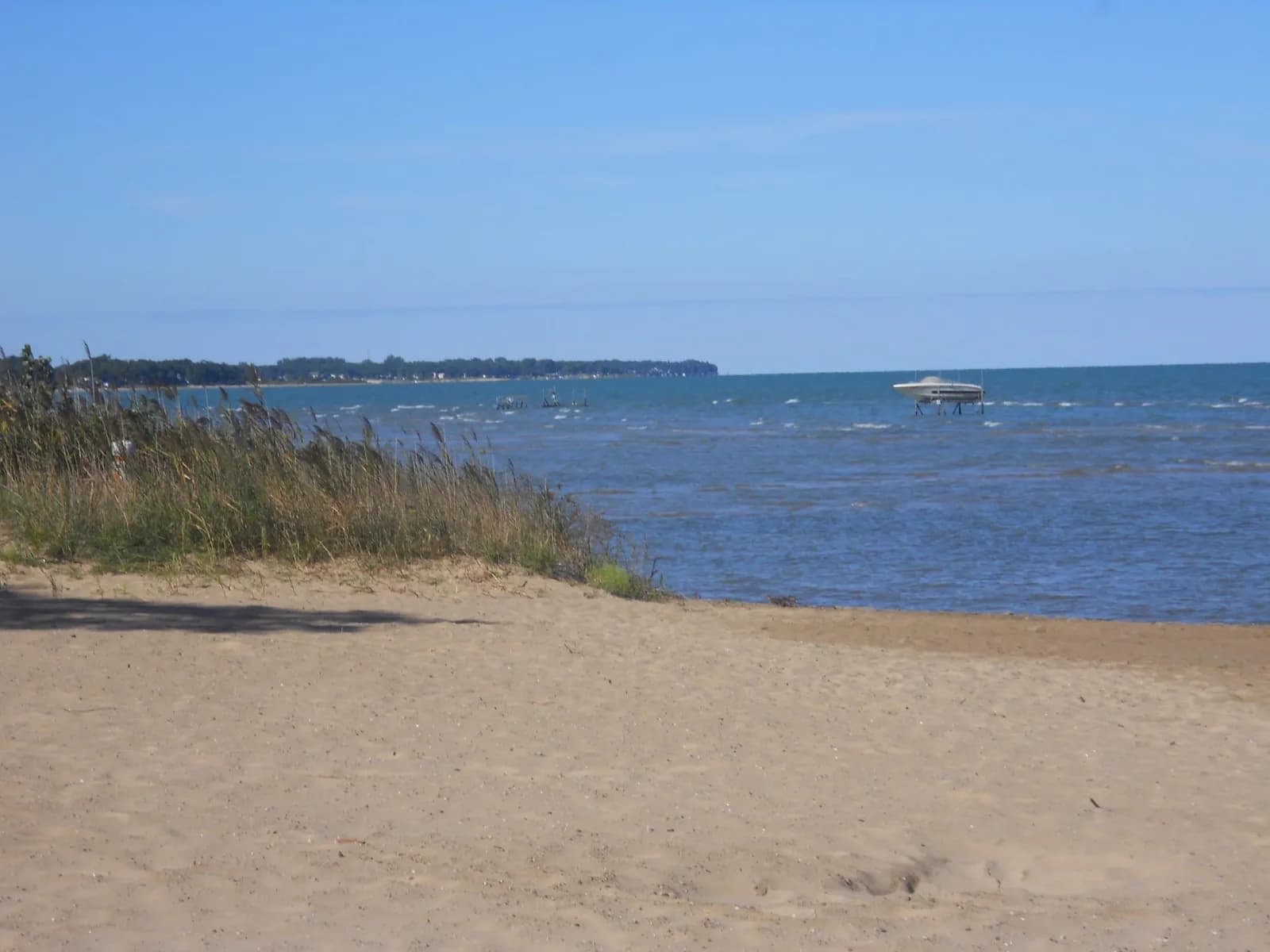
Oak Beach County Park
PT ELIZABETH, Michiganlake
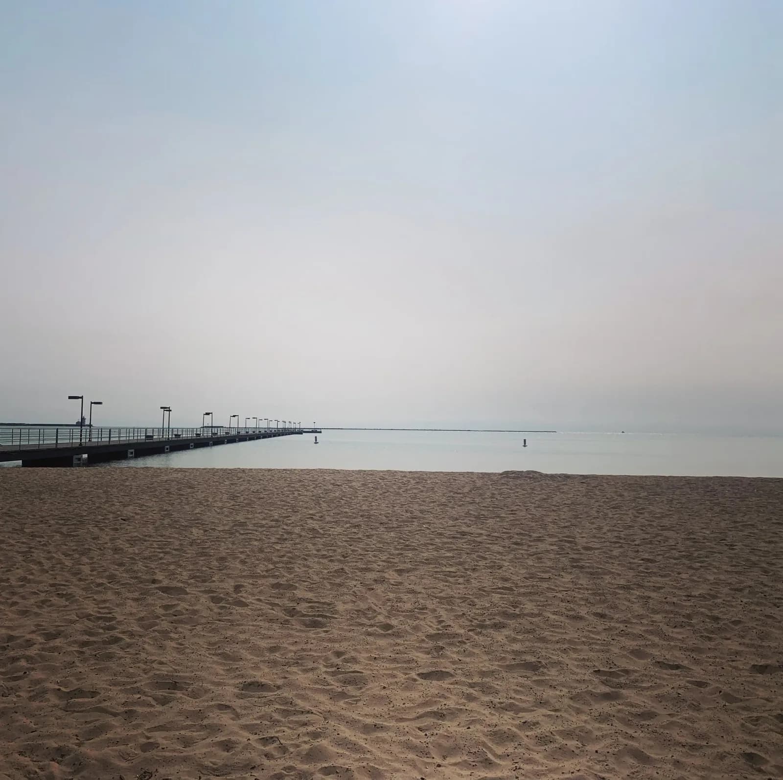
Judge James H. Lincoln Memorial Park
Harbor Beach, Michiganlake
🛶🏄🚤
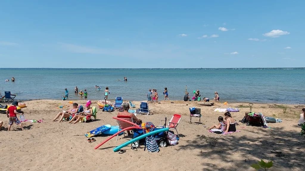
Tawas Point State Park
East Tawas, Michiganlake
⛺🛶
Tawas Point-Sandy Hook Nature Trail
East Tawas, Michiganlake
⛺
Tawas Point Campground
East Tawas, Michiganlake
⛺🛶🏄
Oscoda Beach Park
Oscoda Township, Michiganlake
⛺