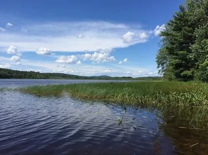
Cummings Preserve Trailhead
Gorham, Maine · on Presumpscot River
Verified · 3 independent sources
- WATER
- river
- ACCESS
- Designated swim area
- FEE
- Free
- SEASON
- Varies by conditions
About Cummings Preserve Trailhead
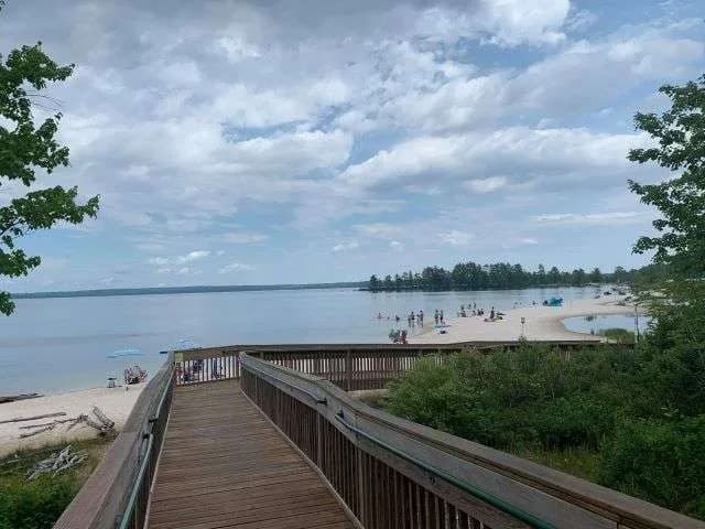
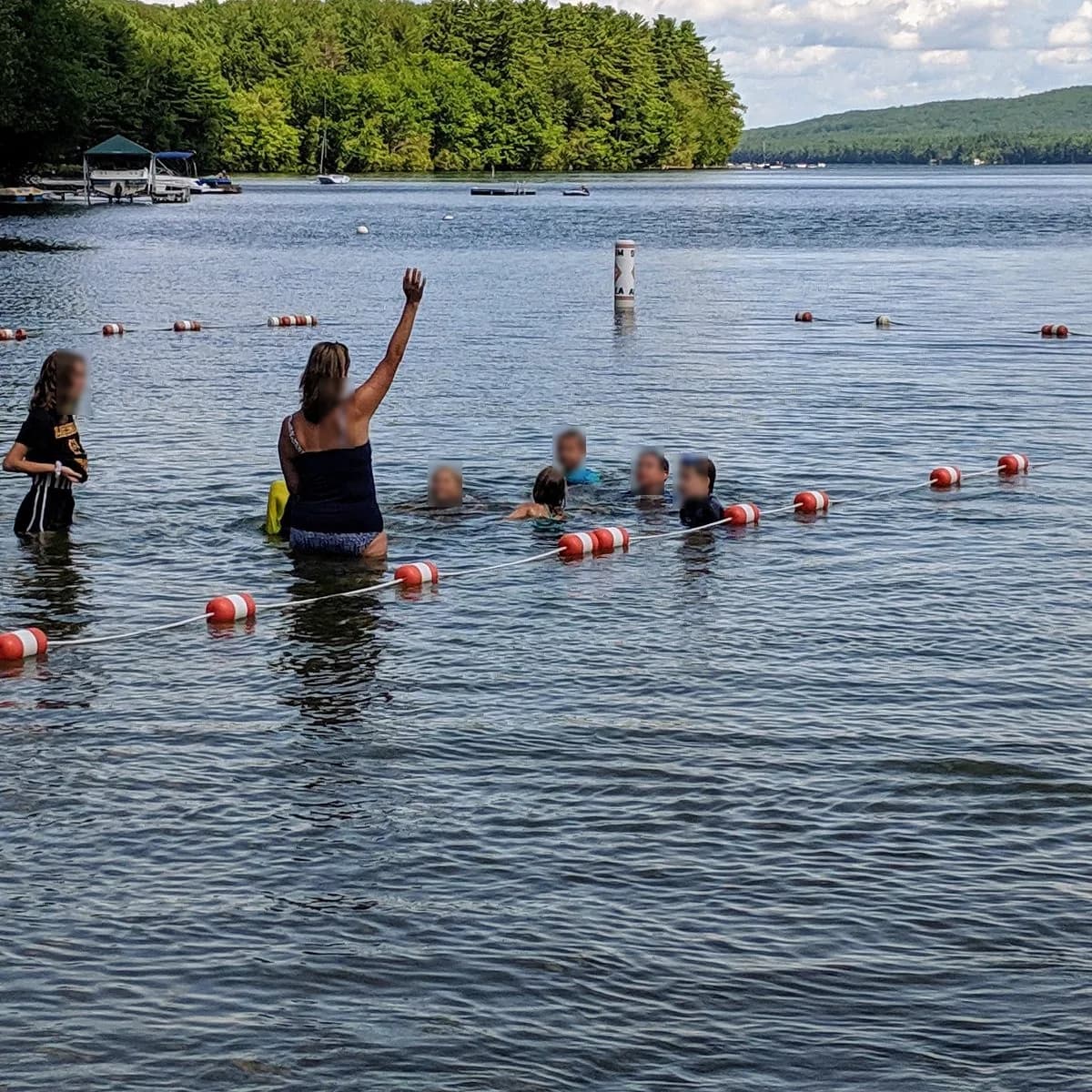
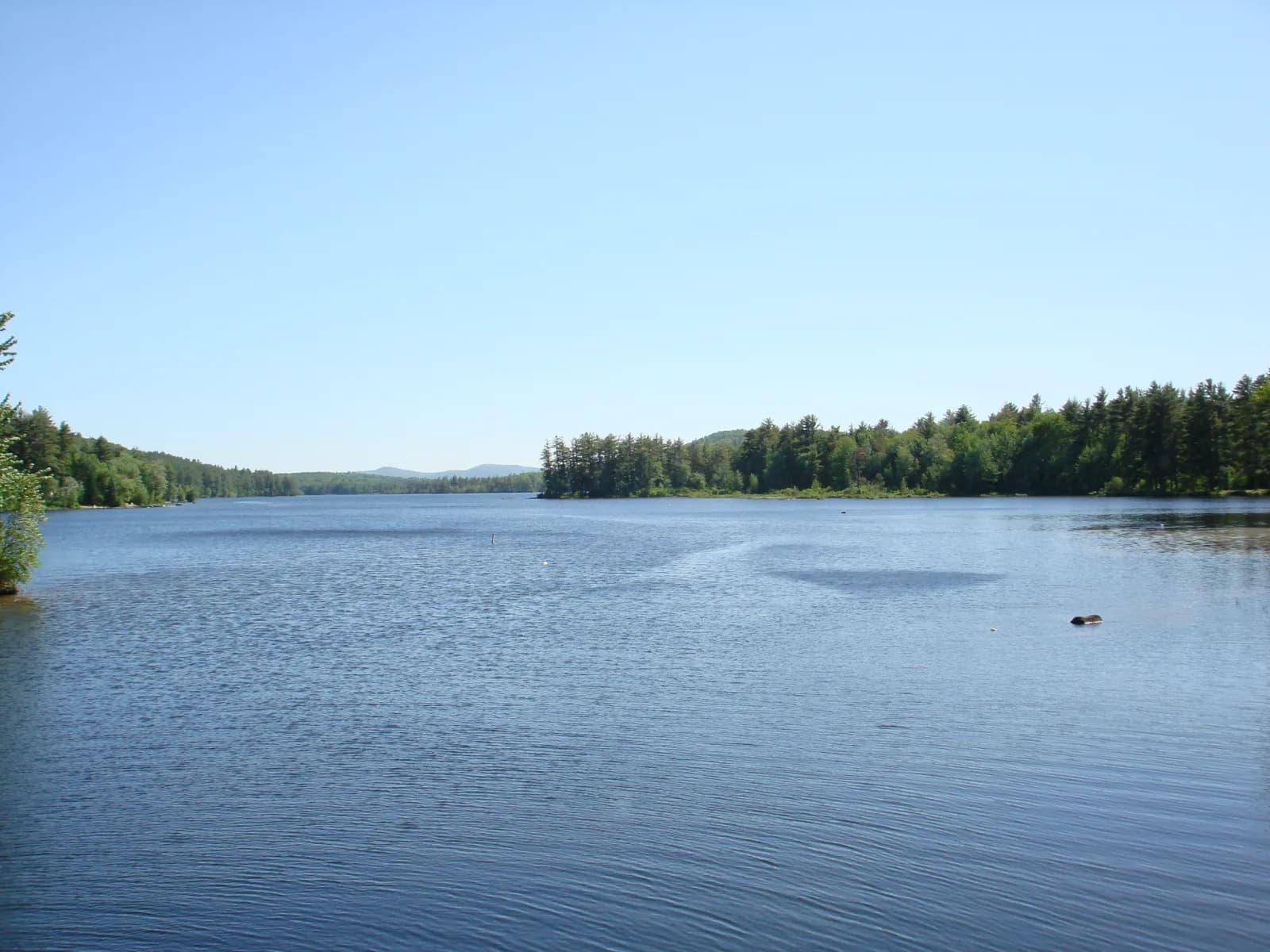
Cummings Preserve is a small riverside conservation area in Gorham, Maine, managed by the Presumpscot Regional Land Trust, offering a short loop trail along the Presumpscot River just south of the Dundee Dam. The preserve's own trail page describes the river access point as a popular local spot for fishing and swimming, making it a low-key swimming hole for anyone looking for a river to swim in near Gorham.
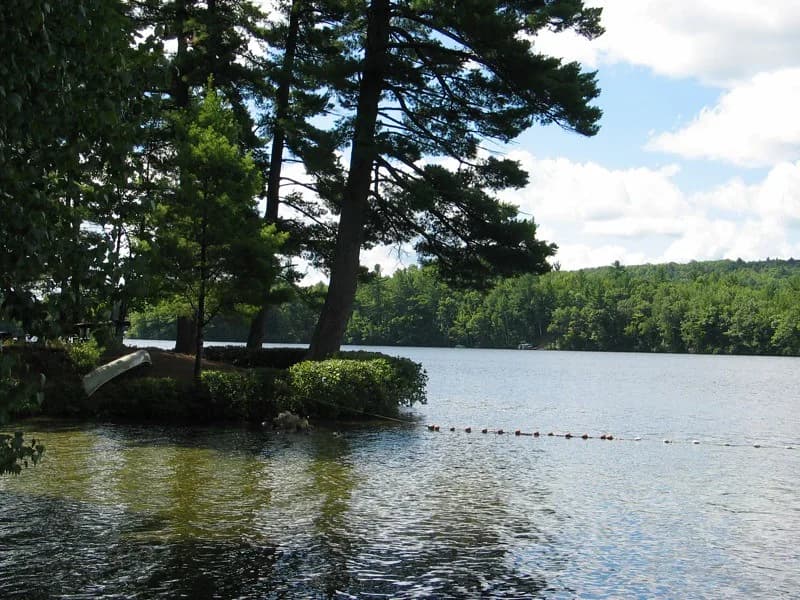
The preserve sits on 5 acres along the Presumpscot River immediately south of the Dundee Dam, incorporating remnants of the historic Oxford-Cumberland Canal towpath. The loop trail combines a canoe portage path with riverside walking through forest, with a footbridge connecting to a small island used for fishing.
Swimming at Cummings Preserve Trailhead
The land trust describes the river access spur as a popular spot for fishing and swimming, though neither source gives specifics on water depth, current strength, or bottom conditions. No designated swim beach or lifeguard presence is indicated; access appears to be informal river access along the bank.
How to get to this swimming hole
Parking is at the Dundee Dam on Dundee Road in Gorham; the marked trailhead (brown and white hiker sign) is a short walk back up the road from the parking area.
Parking: A parking area is provided at the Dundee Dam, a short distance from the marked trailhead.
The hike in
Cummings Preserve Loop (follows Sappi's canoe portage trail and the historic Oxford-Cumberland Towpath)
- To the water
- roughly 0.2-0.4 mi one-way (a short spur off the east end of the loop reaches the river/boat-launch access; sources give the full lollipop loop as 0.80 mi round trip per Maine Trail Finder, or about 1 mi round trip per the land trust's own page)
- Time on foot
- 15-25 minutes round trip at a walking pace, including the spur to the water
Difficulty: easy (Level 1) - flat, short, suitable for most fitness levels
Trailhead: Starts a short distance up Dundee Road from the Dundee Dam parking area; look for the brown-and-white hiker trail sign marking the start of the canoe portage path.
The whole preserve loop is well under a mile; the river/swim access is a short spur near the far (east) end of the lollipop, not a separate long approach.
Trail combines a canoe portage path with a footbridge over to a small fishing island; stay on marked paths and respect a posted private dock visible along the route.
Plan your visit
Bringing kids
OK with supervision
The walk in is short and easy (Level 1 trail), suitable for kids, but the river access is informal bank/rock access right below the Dundee Dam with no lifeguard, no marked swim area, and unknown depth or current strength, so supervise closely, especially near the dam and the boat-launch/footbridge area.
Parking
Free
Small parking area at the Dundee Dam on Dundee Road in Gorham; the marked trailhead (brown-and-white hiker sign, start of Sappi's canoe portage trail) is a short walk back up the road from the lot.
On the water
The preserve trail follows a canoe portage route around Dundee Dam and includes 'a boat launch a short way along the trail,' indicating canoes/kayaks are used to access or bypass the dam here. No explicit motorized-craft, no-wake, or electric-only rule was found in available sources; water levels below the dam can fluctuate with dam operations (in summer 2024 a gate malfunction temporarily dewatered the Dundee Basin impoundment upstream, per Friends of the Presumpscot River), which is worth noting as a variable-conditions factor for paddlers and waders alike.
Backstory
The trail follows the remains of the historic Oxford-Cumberland Canal towpath. The preserve is held as a public-access conservation easement by the Presumpscot Regional Land Trust (Land Trust Alliance accredited), which acknowledges the site sits in the homeland of the Wabanaki People.
Cummings Preserve Trailhead: FAQ
Does Cummings Preserve Trailhead charge a fee?
None (free public access preserve)
Is Cummings Preserve Trailhead kid friendly?
The walk in is short and easy (Level 1 trail), suitable for kids, but the river access is informal bank/rock access right below the Dundee Dam with no lifeguard, no marked swim area, and unknown depth or current strength, so supervise closely, especially near the dam and the boat-launch/footbridge area.
How hard is the hike to Cummings Preserve Trailhead?
A hike is required, about roughly 0.2-0.4 mi one-way (a short spur off the east end of the loop reaches the river/boat-launch access; sources give the full lollipop loop as 0.80 mi round trip per Maine Trail Finder, or about 1 mi round trip per the land trust's own page) to the water (15-25 minutes round trip at a walking pace, including the spur to the water). Wear real shoes, since approaches to natural swim spots are often rocky or rooty.
Where do I park for Cummings Preserve Trailhead?
Small parking area at the Dundee Dam on Dundee Road in Gorham; the marked trailhead (brown-and-white hiker sign, start of Sappi's canoe portage trail) is a short walk back up the road from the lot.
Can I bring a kayak or paddleboard to Cummings Preserve Trailhead?
The preserve trail follows a canoe portage route around Dundee Dam and includes 'a boat launch a short way along the trail,' indicating canoes/kayaks are used to access or bypass the dam here. No explicit motorized-craft, no-wake, or electric-only rule was found in available sources; water levels below the dam can fluctuate with dam operations (in summer 2024 a gate malfunction temporarily dewatered the Dundee Basin impoundment upstream, per Friends of the Presumpscot River), which is worth noting as a variable-conditions factor for paddlers and waders alike.
What are the rules at Cummings Preserve Trailhead?
Leave No Trace principles apply ('take out whatever you bring in'); stay on marked trails; respect posted private property including a visible dock; dogs are permitted if owners pack out waste.
What water body is Cummings Preserve Trailhead on?
Cummings Preserve Trailhead is on Presumpscot River, a natural river verified in USGS hydrography data.