May Queen Campground
Leadville, Colorado · on Lake Fork · San Isabel National Forest
Verified · 4 independent sources
- WATER
- reservoir
- ACCESS
- Designated swim area
- FEE
- $30/night
- SEASON
- Varies by conditions
About May Queen Campground
May Queen Campground is a US Forest Service campground at the far western end of Turquoise Lake in San Isabel National Forest, about 9 miles west of Leadville, Colorado, at 9,900 feet elevation. It sits where Lake Fork creek meets the Turquoise Lake reservoir, with the campground's own recreation.gov listing naming swimming among the on-site activities alongside boating and fishing.
The campground occupies a shaded lodgepole pine forest at the western inlet of Turquoise Lake, a mountain reservoir, with campsites strung along a creek (Lake Fork) and views toward the Mount Massive and Holy Cross Wilderness areas. Some sites sit on level, open ground near the creek while six first-come-first-served sites are up on a wooded hillside above it.
Swimming at May Queen Campground
Recreation.gov lists swimming as one of the activities available at the campground, alongside hand-carried boat/canoe launching directly into Turquoise Lake. First-hand camper reports describe the water as very cold even in June, with families still paddling on stand-up paddleboards; this is high-altitude reservoir swimming rather than a warm summer swimming hole, and best suited to those comfortable with cold water.
How to get to this swimming hole
From Leadville, Colorado, head west on County Road 4 (paved) for about 9 miles to May Queen Campground, on the right at the far western end of Turquoise Lake.
Parking: Two vehicles are included per campsite reservation; no separate day-use or swim-area parking lot was documented in sourced material.
The walk in
No real hike here. The water is a short walk from where you park. No hike is required in a normal water year: one Campendium reviewer put the walk from campsite to the lake's edge at roughly 30 yards, and another described walking straight to the lake to fish/kayak from camp. However, this varies a lot with drought: other campers reported the reservoir dropping so low that the shoreline was pushed out to roughly 1.2 miles from the campground, turning what's normally a short stroll into a long carry for kayaks/SUPs. Check current lake level before counting on a short walk.
Plan your visit
Bringing kids
OK with supervision
No lifeguard or designated swim beach; water is very cold (high-altitude, 9,900 ft reservoir) even in June per camper reports, and reservoir levels/shoreline distance vary year to year with drought. That said, campers report kids doing stand-up paddleboarding here, and in normal water years the shoreline is a very short, flat walk from camp, so it can work for cautious families comfortable with cold water and close supervision.
Parking
Paid
Parking is tied to campsite reservations (two vehicles included per site); no separate day-use or swim-area lot was documented. At least one reviewer noted having to walk about 500 steps uphill from the parking area to reach one of the hillside sites (site 1), so parking-to-site distance varies by campsite.
Restrooms
Yes
Vault/pit toilets at the campground (no potable water on-site in 2026 per Recreation.gov); camper reviews on Campendium describe them as clean/spotless.
On the water
Restrictions: Hand-carried boats only launch directly from the campground/shoreline; Recreation.gov notes trailered boats must use the separate Matchless Boat Ramp on the east side of Turquoise Lake instead. No specific motor horsepower limit or no-wake rule for the lake was found in sourced material.
Camper reports on Campendium describe successfully kayaking and stand-up paddleboarding from the campground shoreline in normal water years; in low-water/drought years the shoreline recedes far enough that some campers gave up on launching from May Queen and drove elsewhere.
What regulars say
Visitor reports (Campendium camper reviews): the walk from a normal-condition shoreline to the campground is short (about 30 yards for one reviewer), but reservoir levels swing a lot with drought - in low-water years the lake edge can retreat roughly 1.2 miles from camp, and at least one group planning to kayak/SUP from their site instead drove elsewhere because the water was too far away. Water is described as very cold even in June, though families still paddleboarded with kids. Vault/pit toilets were called clean/spotless, and one reviewer flagged a roughly 500-step uphill walk from the parking area to one hillside site (site 1), so site selection affects how far you're carrying gear.
Backstory
The campground is near the historic Charles Boustead Memorial Tunnel and an abandoned 1890s Colorado Midland Railroad grade, and lies along the Top of the Rockies Scenic Byway route toward Independence Pass, though no history specific to swimming at this site was found.
May Queen Campground: FAQ
Does May Queen Campground charge a fee?
Camping fee of $30/night (2026); firewood sold for $10/bundle at the campground host site. No distinct day-use swimming fee was found.
Is May Queen Campground kid friendly?
No lifeguard or designated swim beach; water is very cold (high-altitude, 9,900 ft reservoir) even in June per camper reports, and reservoir levels/shoreline distance vary year to year with drought. That said, campers report kids doing stand-up paddleboarding here, and in normal water years the shoreline is a very short, flat walk from camp, so it can work for cautious families comfortable with cold water and close supervision.
Do I need to hike to reach May Queen Campground?
No significant hike is required. The swimming area is close to parking and access.
Where do I park for May Queen Campground?
Parking is tied to campsite reservations (two vehicles included per site); no separate day-use or swim-area lot was documented. At least one reviewer noted having to walk about 500 steps uphill from the parking area to reach one of the hillside sites (site 1), so parking-to-site distance varies by campsite.
Can I bring a kayak or paddleboard to May Queen Campground?
Camper reports on Campendium describe successfully kayaking and stand-up paddleboarding from the campground shoreline in normal water years; in low-water/drought years the shoreline recedes far enough that some campers gave up on launching from May Queen and drove elsewhere.
What are the rules at May Queen Campground?
Maximum 3 tents per site or 1 RV plus 2 tents; dogs must be leashed at all times; generators prohibited after 10 PM; fire restrictions in effect (only approved spark arrestors/LPG stoves); no firearms, fireworks, or OHVs; bear-safe food storage required.
What water body is May Queen Campground on?
May Queen Campground is on Lake Fork, a natural reservoir verified in USGS hydrography data.
More swimming holes near Leadville
 ★ Top verified
South Canyon Hot Springs
Glenwood Springs, Coloradohot spring
🥾 0.5 mi hike
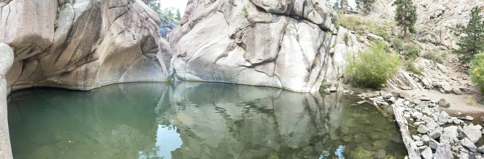
Paradise Cove / Guffey Gorge
Guffey, Coloradocreek
🥾 0.5 mi hike⛺
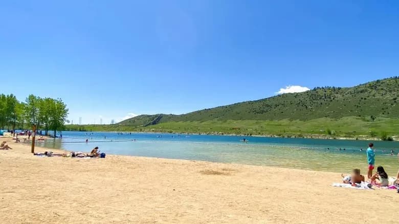
Soda Lake Beach
Morrison, Coloradolake
⛺🛶🏄
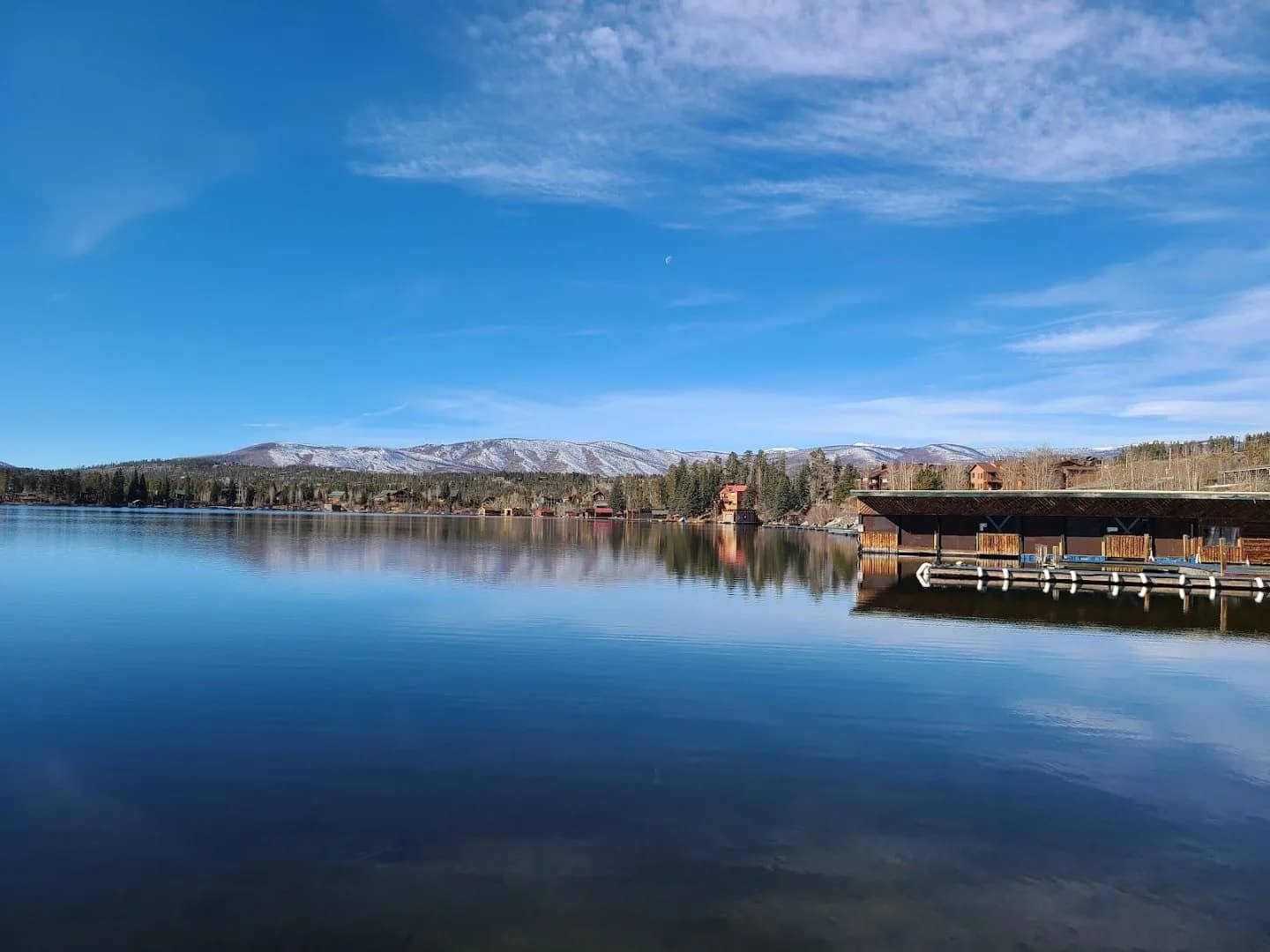
Grand Lake Town Beach and Dock
Grand Lake, Coloradolake
⛺🛶🏄🚤
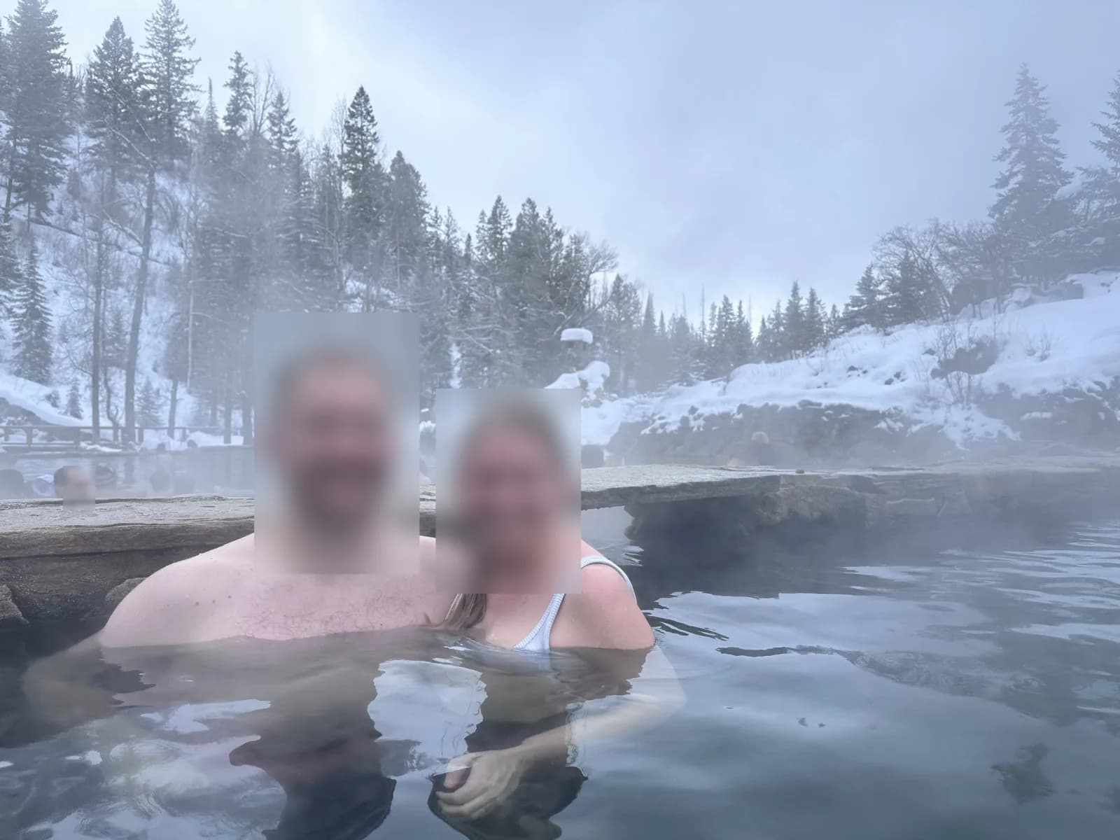
Strawberry Park Natural Hot Springs
Steamboat Springs, Coloradohot spring
⛺
 ★ Top verified
Prospect Lake
Colorado Springs, Coloradolake
⛺🛶🏄🚤